Transport Functions
Port
Hub Profile
Place type
Populated place
Region
New York
Time zone
America/New_York
Elevation
403 m
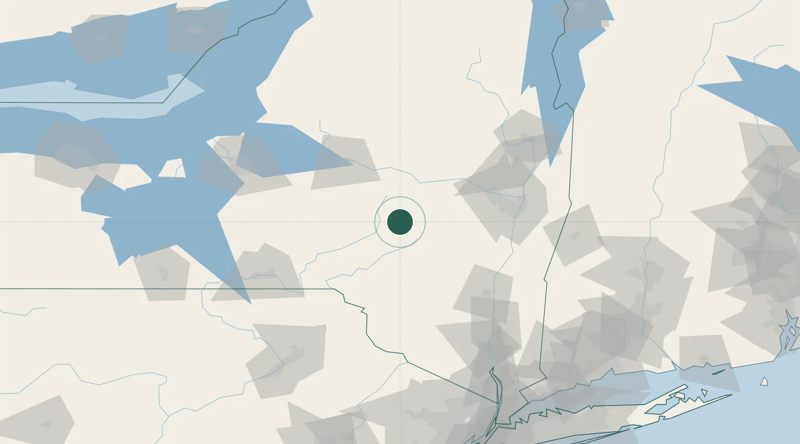
Location
Nearby Logistics Neighbours
Cities
- 1Worcester1 km
- 2Schenevus6 km
- 3Waverly12 km
- 4Grand Gorge33 km
- 5Garrattsville33 km
Ports
- 1Albany84 km
- 2Rensselaer84 km
- 3Catskill86 km
- 4Troy89 km
- 5Kingston98 km
Airports
Trade Zones
- 1FTZ No. 121 Albany79 km
- 2FTZ No. 172 Oneida County127 km
- 3FTZ No. 037 Orange County134 km
- 4FTZ No. 024 Pittston164 km
- 5FTZ No. 201 Holyoke174 km
DatabookThe Record of Consolidated Knowledge
United States beyond logistics?