Transport Functions
Road
Multimodal
Hub Profile
Place type
Populated place
Region
Illinois
Time zone
America/Chicago
Elevation
137 m
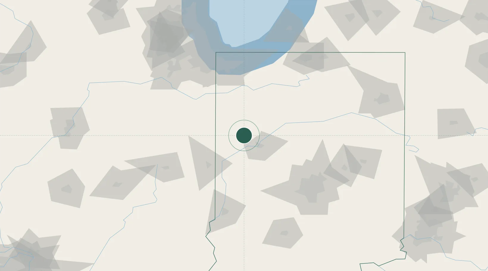
Location
Nearby Logistics Neighbours
Cities
- 1Oxford13 km
- 2Montmorenci14 km
- 3Fowler18 km
- 4Brookston21 km
- 5West Lafayette25 km
Ports
- 1Gary118 km
- 2Indiana Harbor125 km
- 3Michigan City131 km
- 4Calumet Harbor134 km
- 5Chicago152 km
Airports
Trade Zones
- 1FTZ No. 072 Indianapolis116 km
- 2FTZ No. 152 Burns Harbor118 km
- 3FTZ No. 125 South Bend139 km
- 4FTZ No. 022 Chicago154 km
- 5FTZ No. 182 Fort Wayne164 km
DatabookThe Record of Consolidated Knowledge
United States beyond logistics?