Transport Functions
Rail
Road
Multimodal
Hub Profile
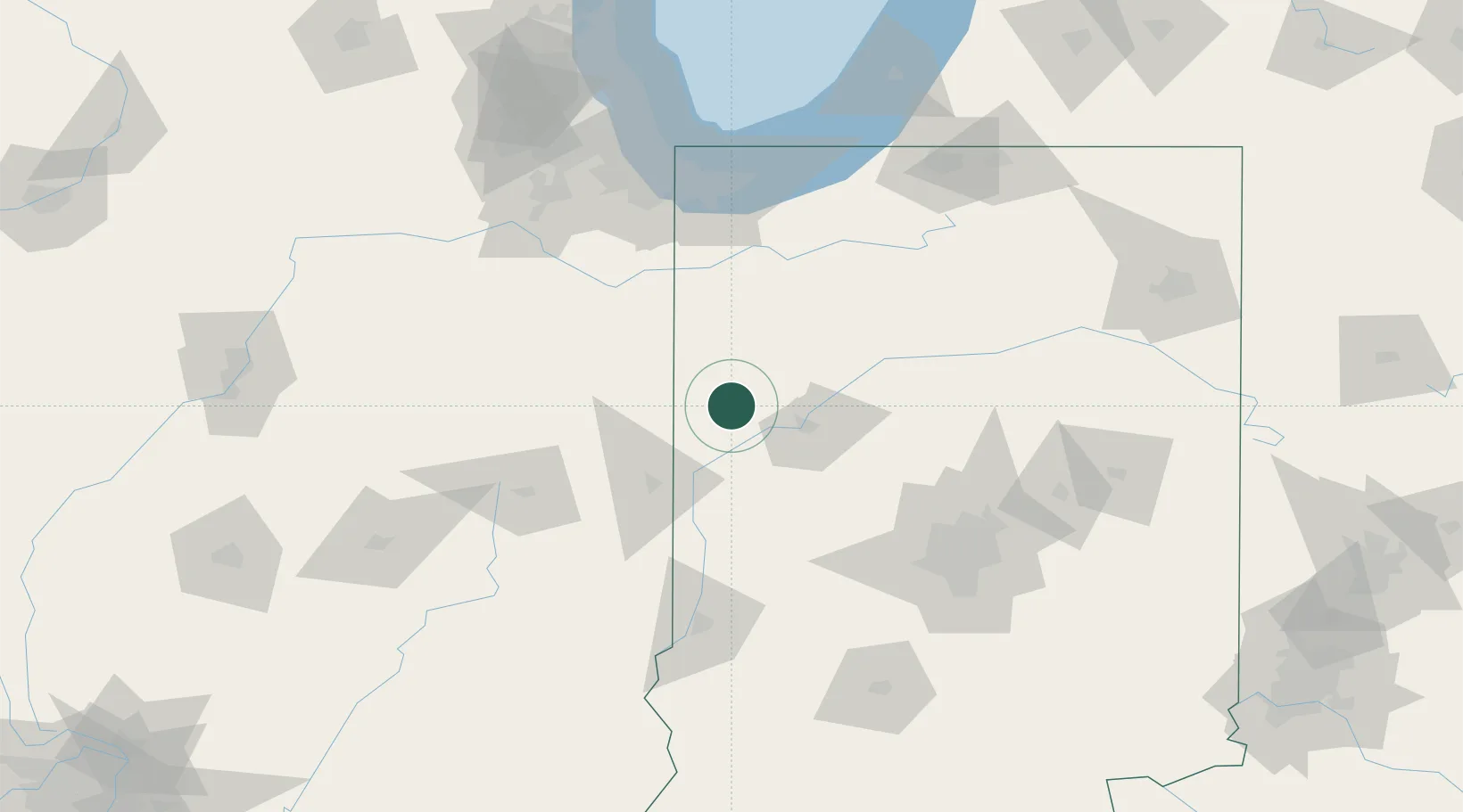
Place type
Populated place
Region
Indiana
Population
1,141
Time zone
America/Indiana/Indianapolis
Elevation
225 m
Location
Nearby Logistics Neighbours
Cities
- 1Fowler13 km
- 2Westport13 km
- 3Montmorenci21 km
- 4Earl Park21 km
- 5Attica26 km
Ports
- 1Gary123 km
- 2Indiana Harbor129 km
- 3Calumet Harbor137 km
- 4Michigan City138 km
- 5Chicago155 km
Airports
Trade Zones
- 1FTZ No. 072 Indianapolis119 km
- 2FTZ No. 152 Burns Harbor123 km
- 3FTZ No. 125 South Bend149 km
- 4FTZ No. 022 Chicago155 km
- 5FTZ No. 245 Decatur170 km
DatabookThe Record of Consolidated Knowledge
United States beyond logistics?