UN/LOCODE hub · United States
USKII
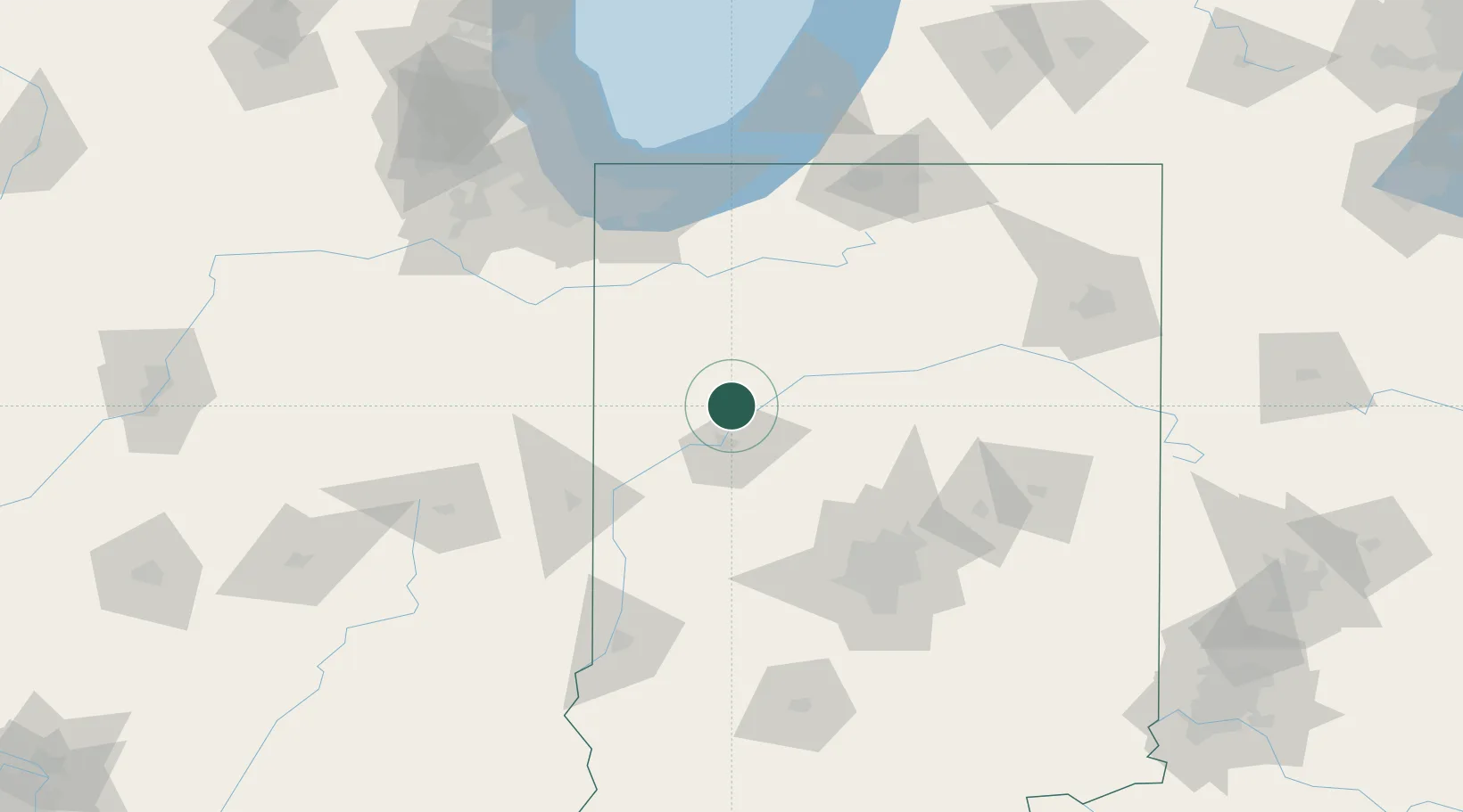
Brookston
40.6000°, -86.8667°
1,534
Population
2
Transport functions
Transport Functions
Rail
Road
Hub Profile
Place type
Populated place
Region
Indiana
Population
1,534
Time zone
America/Indiana/Indianapolis
Elevation
208 m
Location
Nearby Logistics Neighbours
Cities
- 1Battle Ground12 km
- 2Delphi17 km
- 3Monticello18 km
- 4Montmorenci20 km
- 5West Lafayette21 km
Ports
- 1Gary120 km
- 2Michigan City126 km
- 3Indiana Harbor128 km
- 4Calumet Harbor137 km
- 5Chicago155 km
Airports
Trade Zones
- 1FTZ No. 072 Indianapolis108 km
- 2FTZ No. 152 Burns Harbor116 km
- 3FTZ No. 125 South Bend127 km
- 4FTZ No. 182 Fort Wayne143 km
- 5FTZ No. 022 Chicago161 km
DatabookThe Record of Consolidated Knowledge
United States beyond logistics?