UN/LOCODE hub · United States
USIRE

Siren

45.7833°, -92.3667°
778
Population
3
Transport functions

Transport Functions

Rail
Road
Multimodal
UN/LOCODE

Hub Profile

Place type
Provincial seat
GeoNames
Region
Wisconsin
GeoNames
Population
778
GeoNames
Time zone
America/Chicago
GeoNames
Elevation
304 m
GeoNames

Location

Location of USIRE
Natural Earth 10m (public domain) · Wisconsin · USIRE · 45.78, -92.37GoogleOSMYandex

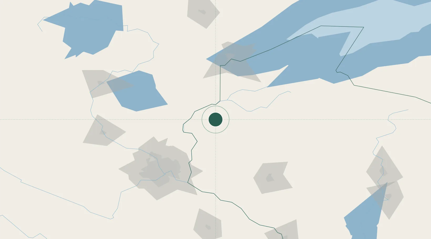
Nearby Logistics Neighbours

Cities
  1. 1Cumberland40 km
  2. 2Turtle Lake46 km
  3. 3Pine City47 km
  4. 4Saint Croix Falls47 km
  5. 5North Branch57 km
Nearest neighbours — logibook spatial index (haversine) over the source coordinates
Ports
  1. 1Superior108 km
  2. 2Duluth111 km
  3. 3Ashland147 km
  4. 4Two Harbors148 km
  5. 5Washburn151 km
Nearest neighbours — logibook spatial index (haversine) over the source coordinates
Airports
  1. 1New Richmond Regional Airport72 km
  2. 2Sawyer County Airport76 km
  3. 3Saint Paul Downtown Holman Field109 km
  4. 4Duluth International Airport118 km
  5. 5Minneapolis–Saint Paul International Airport / Wold–Chamberlain Field121 km
Nearest neighbours — logibook spatial index (haversine) over the source coordinates
Trade Zones
  1. 1FTZ No. 051 Duluth110 km
  2. 2FTZ No. 119 Minneapolis-St. Paul113 km
  3. 3FTZ No. 259 Koochiching County314 km
  4. 4FTZ No. 167 Brown County352 km
  5. 5FTZ No. 266 Dane County368 km
Nearest neighbours — logibook spatial index (haversine) over the source coordinates
DatabookThe Record of Consolidated Knowledge
United States beyond logistics?
Browse databook

All Sources

LocationsUN/LOCODE
UN/LOCODE — free
LocationsGeoNames
CC BY 4.0
Portsthe NGA World Port Index
Public domain (US gov)
AirportsOurAirports
Public domain
Trade Zonesthe World Bank SEZ database
CC BY 4.0
Trade ZonesOpen Zone Map
CC BY
← United States locations