Transport Functions
Rail
Road
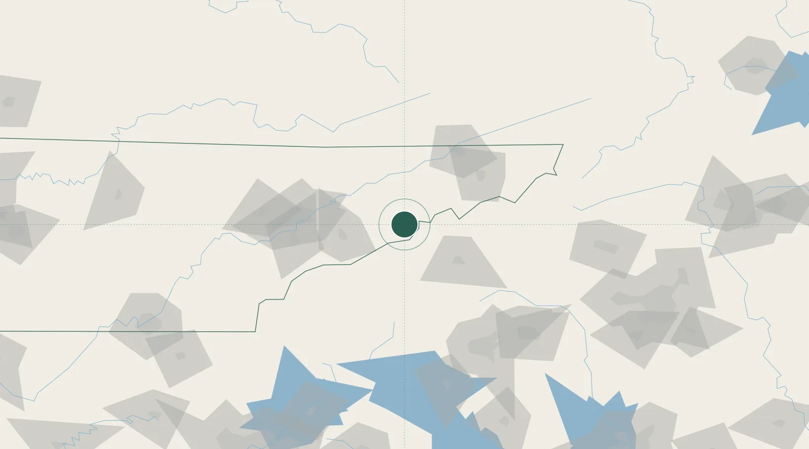
Hub Profile
Place type
Populated place
Region
Tennessee
Time zone
America/New_York
Elevation
348 m
Location
Nearby Logistics Neighbours
Cities
- 1Mosheim30 km
- 2White Pine30 km
- 3Marshall35 km
- 4Marvin36 km
- 5Bulls Gap38 km
Ports
- 1Beaufort444 km
- 2Georgetown445 km
- 3Port Royal450 km
- 4Charleston451 km
- 5Savannah463 km
Airports
Trade Zones
- 1FTZ No. 204 Tri-Cities84 km
- 2FTZ No. 148 Knoxville108 km
- 3FTZ No. 038 Spartanburg County135 km
- 4FTZ No. 057 Mecklenburg County191 km
- 5FTZ No. 134 Chattanooga231 km
DatabookThe Record of Consolidated Knowledge
United States beyond logistics?