Transport Functions
Multimodal
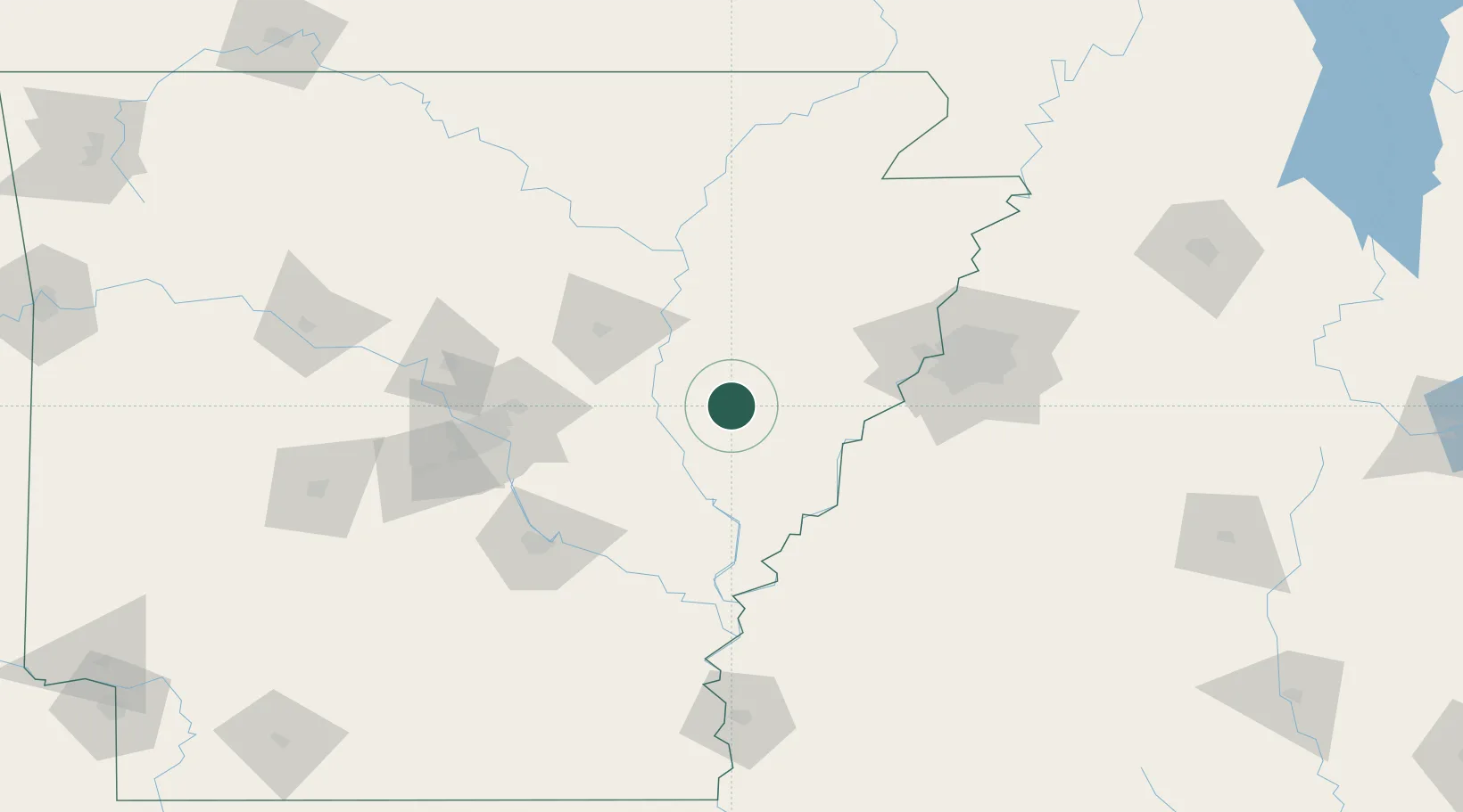
Hub Profile
Place type
Populated place
Region
Arkansas
Population
328
Time zone
America/Chicago
Elevation
64 m
Location
Nearby Logistics Neighbours
Cities
- 1Brinkley8 km
- 2Cotton Plant18 km
- 3Clarendon30 km
- 4Colt36 km
- 5Fair Oaks38 km
Ports
- 1Port Of Memphis87 km
- 2Baton Rouge495 km
- 3Madisonville508 km
- 4Slidell530 km
- 5Gulfport540 km
Airports
Trade Zones
- 1FTZ No. 287 Tunica County47 km
- 2FTZ No. 077 Memphis81 km
- 3FTZ No. 273 West Memphis87 km
- 4FTZ No. 223 Memphis94 km
- 5FTZ No. 262 Southaven97 km
DatabookThe Record of Consolidated Knowledge
United States beyond logistics?