UN/LOCODE hub · United States
USRIY
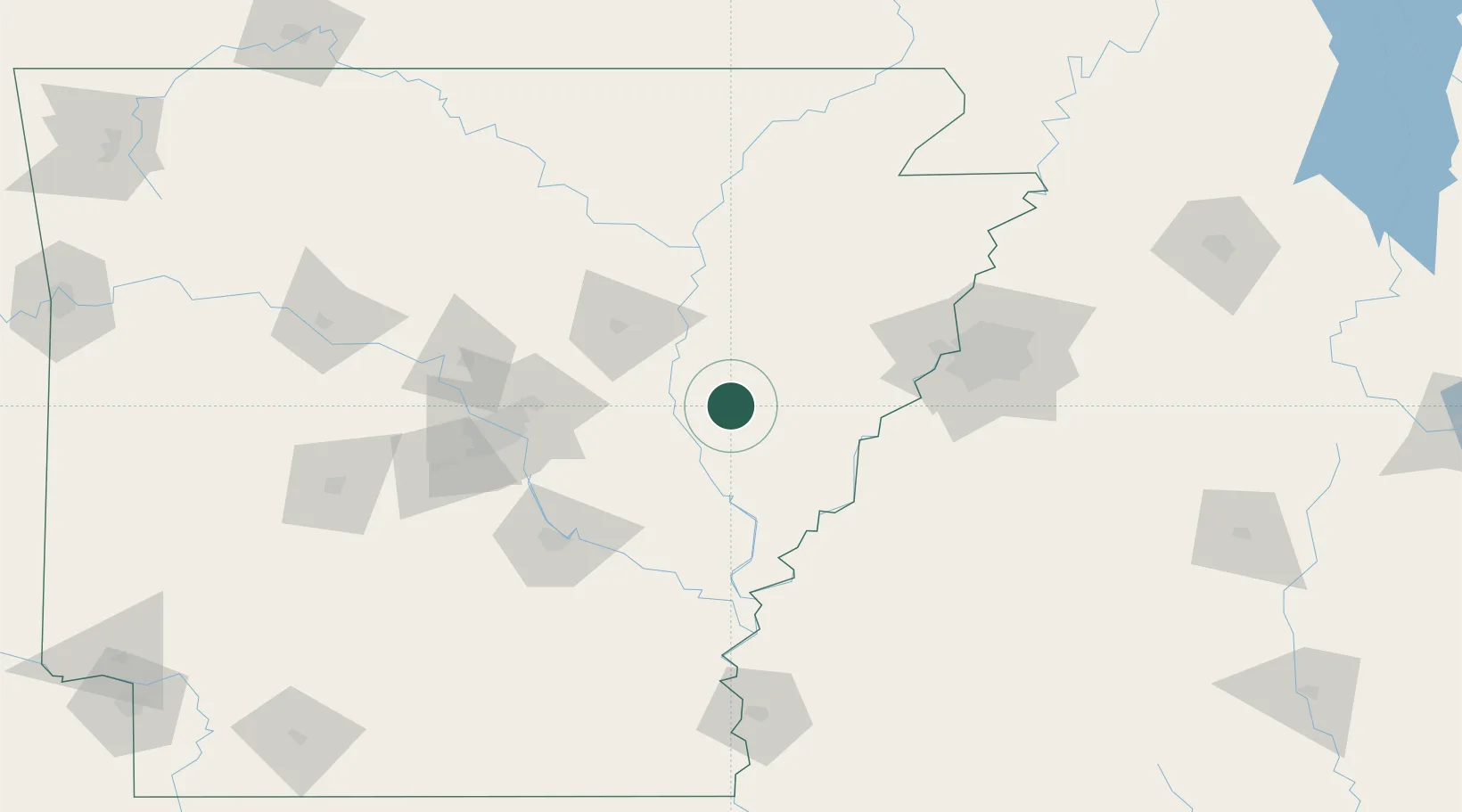
Brinkley
34.8833°, -91.1833°
2,890
Population
3
Transport functions
Transport Functions
Rail
Road
Multimodal
Hub Profile
Place type
Populated place
Region
Arkansas
Population
2,890
Time zone
America/Chicago
Elevation
64 m
Location
Nearby Logistics Neighbours
Cities
- 1Wheatley8 km
- 2Cotton Plant14 km
- 3Clarendon25 km
- 4Fair Oaks42 km
- 5Ulm43 km
Ports
- 1Port Of Memphis95 km
- 2Baton Rouge493 km
- 3Madisonville508 km
- 4Slidell530 km
- 5Reserve541 km
Airports
Trade Zones
- 1FTZ No. 287 Tunica County53 km
- 2FTZ No. 077 Memphis89 km
- 3FTZ No. 014 Little Rock94 km
- 4FTZ No. 273 West Memphis95 km
- 5FTZ No. 223 Memphis101 km
DatabookThe Record of Consolidated Knowledge
United States beyond logistics?