UN/LOCODE hub · United States
USRNN
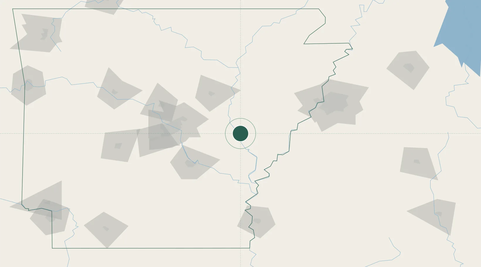
Clarendon
34.6833°, -91.3000°
1,504
Population
4
Transport functions
Transport Functions
Port
Rail
Road
Multimodal
Hub Profile
Place type
Provincial seat
Region
Arkansas
Population
1,504
Time zone
America/Chicago
Elevation
53 m
Location
Nearby Logistics Neighbours
Cities
- 1Ulm19 km
- 2Brinkley25 km
- 3Wheatley30 km
- 4Cotton Plant36 km
- 5Marvell40 km
Ports
- 1Port Of Memphis112 km
- 2Baton Rouge471 km
- 3Madisonville488 km
- 4Slidell511 km
- 5Reserve520 km
Airports
Trade Zones
- 1FTZ No. 287 Tunica County57 km
- 2FTZ No. 014 Little Rock82 km
- 3FTZ No. 077 Memphis108 km
- 4FTZ No. 273 West Memphis113 km
- 5FTZ No. 223 Memphis119 km
DatabookThe Record of Consolidated Knowledge
United States beyond logistics?