UN/LOCODE hub · United States
USNDL
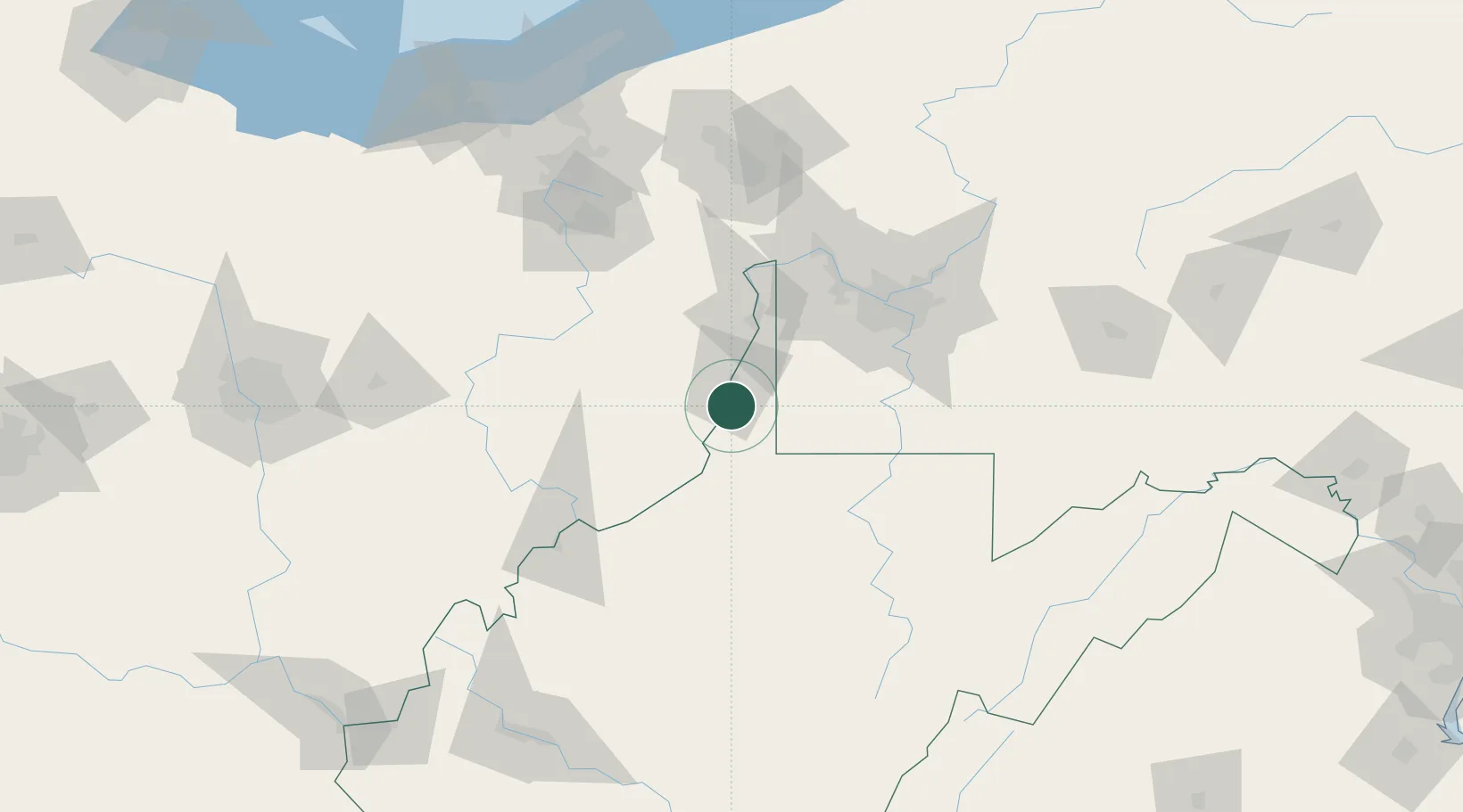
Glen Dale
39.9500°, -80.7333°
1,526
Population
2
Transport functions
Transport Functions
Road
Multimodal
Hub Profile
Place type
Populated place
Region
West Virginia
Population
1,526
Time zone
America/New_York
Elevation
211 m
Location
Nearby Logistics Neighbours
Cities
- 1Shadyside2 km
- 2Benwood7 km
- 3Lansing14 km
- 4Kinsman, Belmont25 km
- 5West Alexander26 km
Airports
Trade Zones
- 1FTZ No. 033 Pittsburgh79 km
- 2FTZ No. 181 Akron Canton141 km
- 3FTZ No. 138 Franklin County189 km
- 4FTZ No. 040 Cleveland196 km
- 5FTZ No. 229 Charleston198 km
DatabookThe Record of Consolidated Knowledge
United States beyond logistics?