Transport Functions
Multimodal
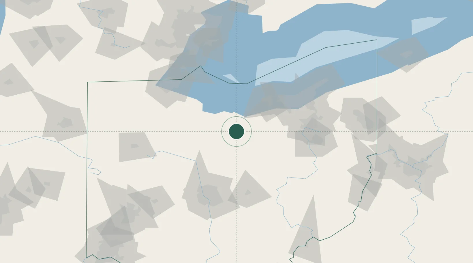
Hub Profile
Place type
Populated place
Region
Ohio
Population
630
Time zone
America/New_York
Elevation
329 m
Location
Nearby Logistics Neighbours
Cities
- 1Savannah20 km
- 2New London21 km
- 3Crestline23 km
- 4Ontario24 km
- 5Galion30 km
Ports
- 1Huron48 km
- 2Sandusky55 km
- 3Vermilion55 km
- 4Lorain66 km
- 5Port Clinton67 km
Airports
Trade Zones
- 1FTZ No. 181 Akron Canton72 km
- 2FTZ No. 040 Cleveland86 km
- 3FTZ No. 151 Findlay93 km
- 4FTZ No. 008 Toledo109 km
- 5FTZ No. 138 Franklin County131 km
DatabookThe Record of Consolidated Knowledge
United States beyond logistics?