Transport Functions
Road
Multimodal
Hub Profile
Place type
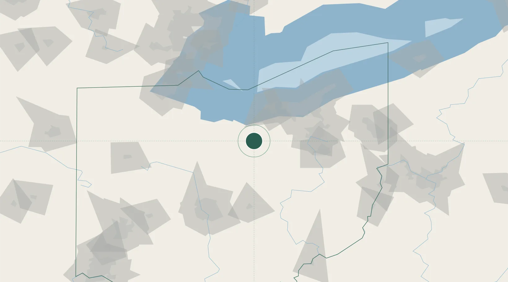
Populated place
Region
Ohio
Population
408
Time zone
America/New_York
Elevation
335 m
Location
Nearby Logistics Neighbours
Cities
- 1New London13 km
- 2Shiloh20 km
- 3Ontario30 km
- 4Wakeman32 km
- 5Lodi33 km
Ports
- 1Huron51 km
- 2Vermilion52 km
- 3Lorain58 km
- 4Sandusky61 km
- 5Port Clinton77 km
Airports
Trade Zones
- 1FTZ No. 181 Akron Canton53 km
- 2FTZ No. 040 Cleveland73 km
- 3FTZ No. 151 Findlay113 km
- 4FTZ No. 008 Toledo124 km
- 5FTZ No. 138 Franklin County137 km
DatabookThe Record of Consolidated Knowledge
United States beyond logistics?