Transport Functions
Port
Multimodal
Hub Profile
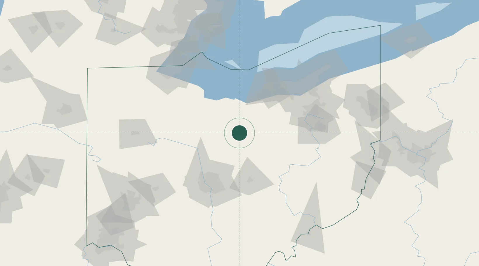
Place type
Populated place
Region
Ohio
Population
6,111
Time zone
America/New_York
Elevation
414 m
Location
Nearby Logistics Neighbours
Ports
- 1Huron72 km
- 2Vermilion78 km
- 3Sandusky79 km
- 4Lorain86 km
- 5Port Clinton90 km
Airports
Trade Zones
- 1FTZ No. 181 Akron Canton75 km
- 2FTZ No. 151 Findlay100 km
- 3FTZ No. 040 Cleveland104 km
- 4FTZ No. 138 Franklin County108 km
- 5FTZ No. 008 Toledo128 km
DatabookThe Record of Consolidated Knowledge
United States beyond logistics?