UN/LOCODE hub · United States
USC7R
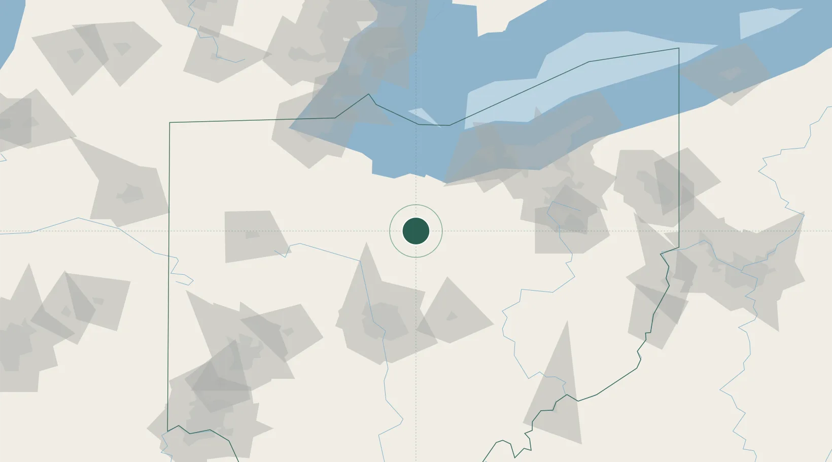
Crestline
40.7833°, -82.7333°
4,438
Population
2
Transport functions
Transport Functions
Road
Multimodal
Hub Profile
Place type
Populated place
Region
Ohio
Population
4,438
Time zone
America/New_York
Elevation
348 m
Location
Nearby Logistics Neighbours
Ports
- 1Huron70 km
- 2Sandusky74 km
- 3Vermilion79 km
- 4Port Clinton83 km
- 5Lorain89 km
Airports
Trade Zones
- 1FTZ No. 181 Akron Canton86 km
- 2FTZ No. 151 Findlay87 km
- 3FTZ No. 040 Cleveland109 km
- 4FTZ No. 138 Franklin County109 km
- 5FTZ No. 008 Toledo118 km
DatabookThe Record of Consolidated Knowledge
United States beyond logistics?