Transport Functions
Port
Rail
Road
Airport
Multimodal
Hub Profile
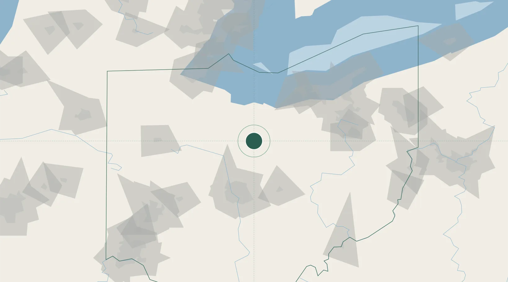
Place type
Populated place
Region
Ohio
Population
10,127
Time zone
America/New_York
Elevation
357 m
Location
Nearby Logistics Neighbours
Cities
- 1Crestline7 km
- 2Ontario17 km
- 3Caledonia19 km
- 4Lexington20 km
- 5Mount Gilead22 km
Ports
- 1Huron77 km
- 2Sandusky80 km
- 3Vermilion85 km
- 4Port Clinton88 km
- 5Lorain96 km
Airports
Trade Zones
- 1FTZ No. 151 Findlay85 km
- 2FTZ No. 181 Akron Canton91 km
- 3FTZ No. 138 Franklin County103 km
- 4FTZ No. 040 Cleveland116 km
- 5FTZ No. 008 Toledo120 km
DatabookThe Record of Consolidated Knowledge
United States beyond logistics?