UN/LOCODE hub · United States
USNED
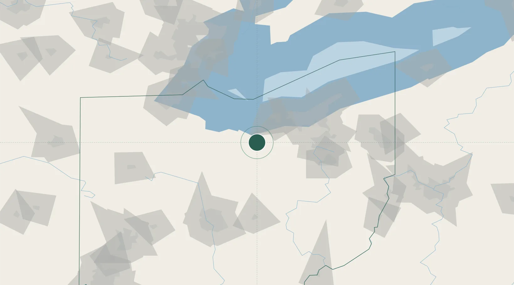
New London
41.0833°, -82.4000°
2,381
Population
2
Transport functions
Transport Functions
Port
Road
Hub Profile
Place type
Populated place
Region
Ohio
Population
2,381
Time zone
America/New_York
Elevation
299 m
Location
Nearby Logistics Neighbours
Cities
- 1Savannah13 km
- 2Wakeman19 km
- 3Shiloh21 km
- 4Birmingham26 km
- 5Oberlin27 km
Ports
- 1Huron37 km
- 2Vermilion39 km
- 3Lorain46 km
- 4Sandusky49 km
- 5Port Clinton66 km
Airports
Trade Zones
- 1FTZ No. 181 Akron Canton57 km
- 2FTZ No. 040 Cleveland65 km
- 3FTZ No. 151 Findlay109 km
- 4FTZ No. 008 Toledo114 km
- 5Windsor - Essex Foreign Trade Zone147 km
DatabookThe Record of Consolidated Knowledge
United States beyond logistics?