Transport Functions
Rail
Road
Multimodal
Hub Profile
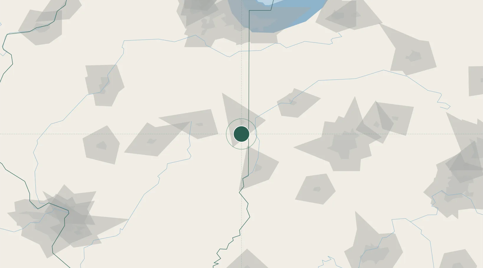
Region
IL
Location
Nearby Logistics Neighbours
Cities
- 1Tilton15 km
- 2Sidell17 km
- 3Fithian26 km
- 4Ogden31 km
- 5Veedersburg35 km
Ports
- 1Gary185 km
- 2Indiana Harbor190 km
- 3Calumet Harbor197 km
- 4Michigan City206 km
- 5Chicago213 km
Airports
Trade Zones
- 1FTZ No. 072 Indianapolis116 km
- 2FTZ No. 245 Decatur122 km
- 3FTZ No. 114 Peoria185 km
- 4FTZ No. 152 Burns Harbor188 km
- 5FTZ No. 022 Chicago209 km
DatabookThe Record of Consolidated Knowledge
United States beyond logistics?