Transport Functions
Road
Multimodal
Hub Profile
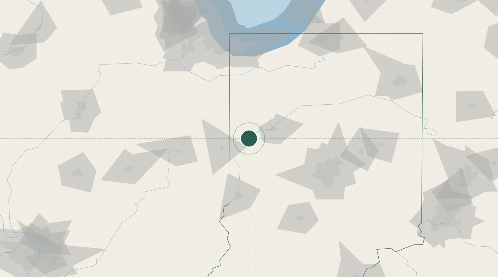
Place type
Populated place
Region
Indiana
Population
3,117
Time zone
America/Indiana/Indianapolis
Elevation
165 m
Location
Nearby Logistics Neighbours
Cities
- 1Veedersburg19 km
- 2Oxford26 km
- 3Shadeland, Tippecanoe27 km
- 4Montmorenci28 km
- 5West Lafayette33 km
Ports
- 1Gary148 km
- 2Indiana Harbor155 km
- 3Calumet Harbor163 km
- 4Michigan City164 km
- 5Chicago180 km
Airports
Trade Zones
- 1FTZ No. 072 Indianapolis101 km
- 2FTZ No. 152 Burns Harbor149 km
- 3FTZ No. 245 Decatur161 km
- 4FTZ No. 125 South Bend172 km
- 5FTZ No. 022 Chicago180 km
DatabookThe Record of Consolidated Knowledge
United States beyond logistics?