UN/LOCODE hub · United States
USVR9

Augusta

38.5667°, -90.8667°
255
Population
2
Transport functions

Transport Functions

Port
Road
UN/LOCODE

Hub Profile

Place type
Populated place
GeoNames
Region
Missouri
GeoNames
Population
255
GeoNames
Time zone
America/Chicago
GeoNames
Elevation
171 m
GeoNames

Location

Location of USVR9
Natural Earth 10m (public domain) · Missouri · USVR9 · 38.57, -90.87GoogleOSMYandex

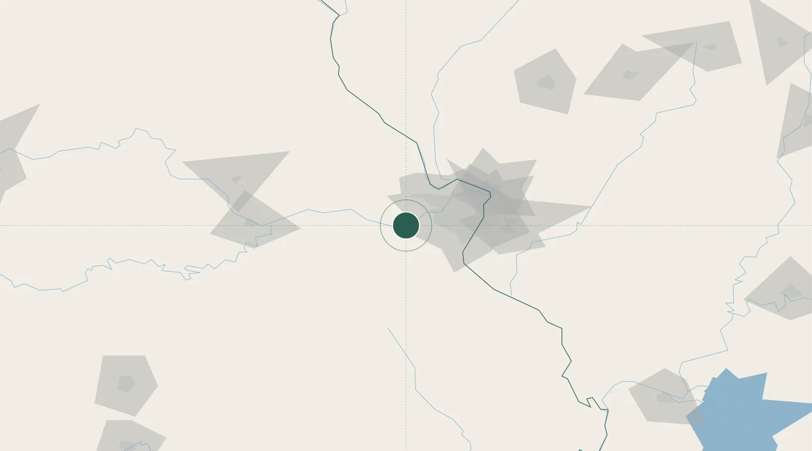
Nearby Logistics Neighbours

Cities
  1. 1Labadie6 km
  2. 2Saint Albans9 km
  3. 3Dutzow11 km
  4. 4Defiance11 km
  5. 5Pacific14 km
Nearest neighbours — logibook spatial index (haversine) over the source coordinates
Ports
  1. 1Port Of Memphis394 km
  2. 2Indiana Harbor452 km
  3. 3Calumet Harbor453 km
  4. 4Gary453 km
  5. 5Chicago461 km
Nearest neighbours — logibook spatial index (haversine) over the source coordinates
Airports
  1. 1Spirit of St Louis Airport22 km
  2. 2St. Louis Lambert International Airport48 km
  3. 3St Louis Regional Airport80 km
  4. 4Scott AFB/Midamerica Airport90 km
  5. 5Columbia Regional Airport121 km
Nearest neighbours — logibook spatial index (haversine) over the source coordinates
Trade Zones
  1. 1FTZ No. 102 St. Louis County16 km
  2. 2FTZ No. 031 Granite City61 km
  3. 3FTZ No. 245 Decatur212 km
  4. 4FTZ No. 055 Burlington250 km
  5. 5FTZ No. 225 Springfield252 km
Nearest neighbours — logibook spatial index (haversine) over the source coordinates
DatabookThe Record of Consolidated Knowledge
United States beyond logistics?
Browse databook

All Sources

LocationsUN/LOCODE
UN/LOCODE — free
LocationsGeoNames
CC BY 4.0
Portsthe NGA World Port Index
Public domain (US gov)
AirportsOurAirports
Public domain
Trade Zonesthe World Bank SEZ database
CC BY 4.0
Trade ZonesOpen Zone Map
CC BY
← United States locations