Transport Functions
Rail
Road
Multimodal
Hub Profile
Place type
Populated place
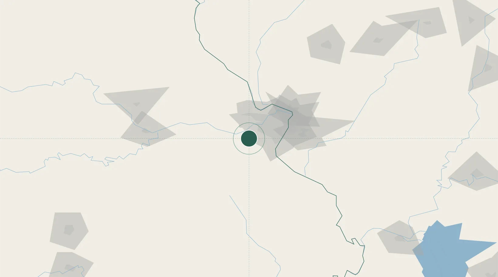
Region
Missouri
Population
7,161
Time zone
America/Chicago
Elevation
142 m
Location
Nearby Logistics Neighbours
Cities
- 1Catawissa8 km
- 2Saint Albans9 km
- 3Labadie10 km
- 4Augusta14 km
- 5Defiance17 km
Ports
- 1Port Of Memphis383 km
- 2Indiana Harbor453 km
- 3Gary454 km
- 4Calumet Harbor454 km
- 5Chicago463 km
Airports
Trade Zones
- 1FTZ No. 102 St. Louis County18 km
- 2FTZ No. 031 Granite City56 km
- 3FTZ No. 245 Decatur211 km
- 4FTZ No. 294 Western Kentucky247 km
- 5FTZ No. 225 Springfield255 km
DatabookThe Record of Consolidated Knowledge
United States beyond logistics?