UN/LOCODE hub · United States
USDFC

Defiance

38.6333°, -90.7667°
155
Population
2
Transport functions

Transport Functions

Road
Multimodal
UN/LOCODE

Hub Profile

Place type
Populated place
GeoNames
Region
Missouri
GeoNames
Population
155
GeoNames
Time zone
America/Chicago
GeoNames
Elevation
146 m
GeoNames

Location

Location of USDFC
Natural Earth 10m (public domain) · Missouri · USDFC · 38.63, -90.77GoogleOSMYandex

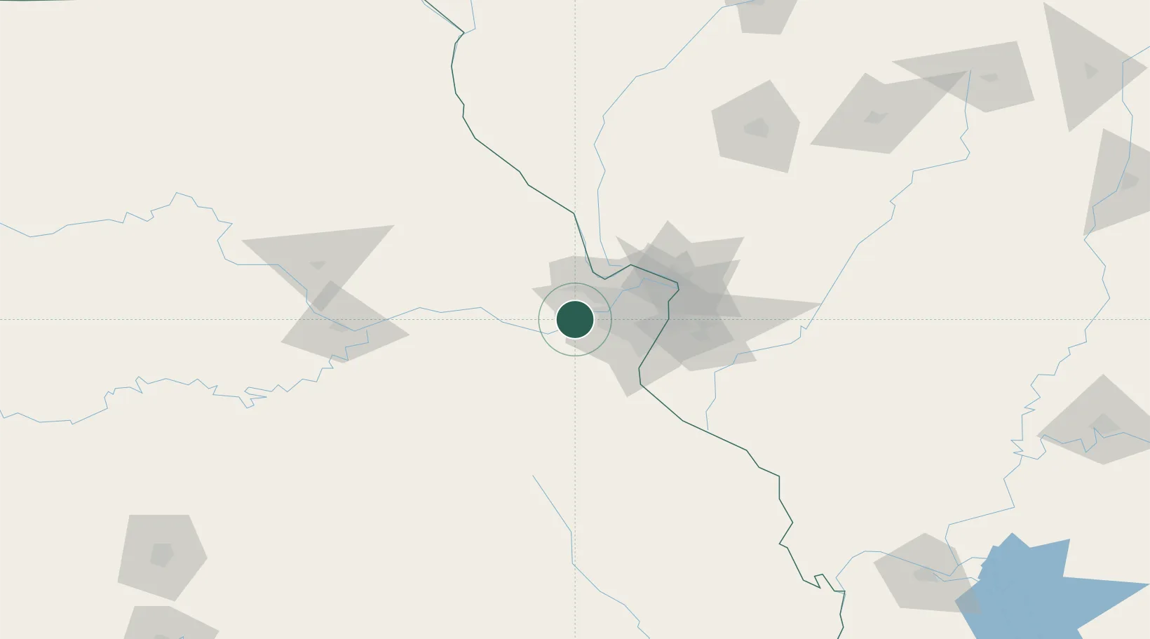
Nearby Logistics Neighbours

Cities
  1. 1Saint Albans7 km
  2. 2Augusta11 km
  3. 3Labadie15 km
  4. 4Lake Saint Louis17 km
  5. 5Pacific17 km
Nearest neighbours — logibook spatial index (haversine) over the source coordinates
Ports
  1. 1Port Of Memphis400 km
  2. 2Indiana Harbor440 km
  3. 3Calumet Harbor442 km
  4. 4Gary442 km
  5. 5Chicago450 km
Nearest neighbours — logibook spatial index (haversine) over the source coordinates
Airports
  1. 1Spirit of St Louis Airport11 km
  2. 2St. Louis Lambert International Airport37 km
  3. 3St Louis Regional Airport69 km
  4. 4Scott AFB/Midamerica Airport82 km
  5. 5Columbia Regional Airport128 km
Nearest neighbours — logibook spatial index (haversine) over the source coordinates
Trade Zones
  1. 1FTZ No. 102 St. Louis County5 km
  2. 2FTZ No. 031 Granite City50 km
  3. 3FTZ No. 245 Decatur200 km
  4. 4FTZ No. 055 Burlington244 km
  5. 5FTZ No. 114 Peoria251 km
Nearest neighbours — logibook spatial index (haversine) over the source coordinates
DatabookThe Record of Consolidated Knowledge
United States beyond logistics?
Browse databook

All Sources

LocationsUN/LOCODE
UN/LOCODE — free
LocationsGeoNames
CC BY 4.0
Portsthe NGA World Port Index
Public domain (US gov)
AirportsOurAirports
Public domain
Trade Zonesthe World Bank SEZ database
CC BY 4.0
Trade ZonesOpen Zone Map
CC BY
← United States locations