Transport Functions
Rail
Road
Multimodal
Hub Profile
Place type
Populated place
Region
Missouri
Time zone
America/Chicago
Elevation
147 m
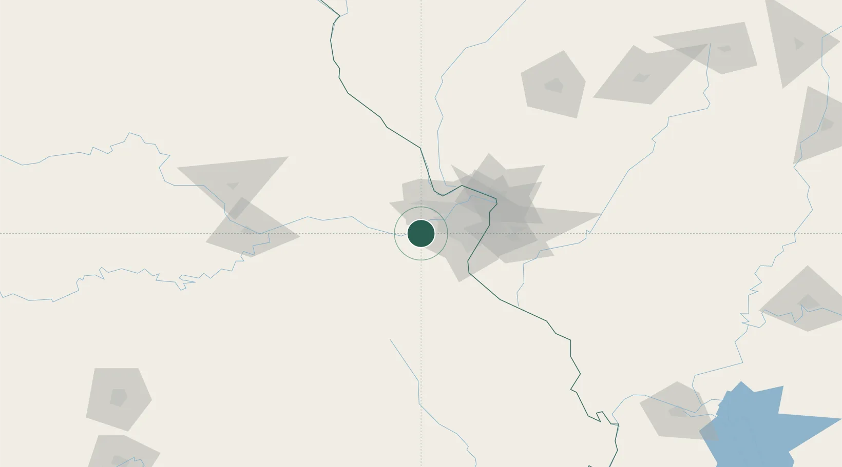
Location
Nearby Logistics Neighbours
Ports
- 1Port Of Memphis393 km
- 2Indiana Harbor446 km
- 3Calumet Harbor448 km
- 4Gary448 km
- 5Chicago456 km
Airports
Trade Zones
- 1FTZ No. 102 St. Louis County10 km
- 2FTZ No. 031 Granite City53 km
- 3FTZ No. 245 Decatur206 km
- 4FTZ No. 055 Burlington251 km
- 5FTZ No. 294 Western Kentucky254 km
DatabookThe Record of Consolidated Knowledge
United States beyond logistics?