Transport Functions
Port
Rail
Road
Multimodal
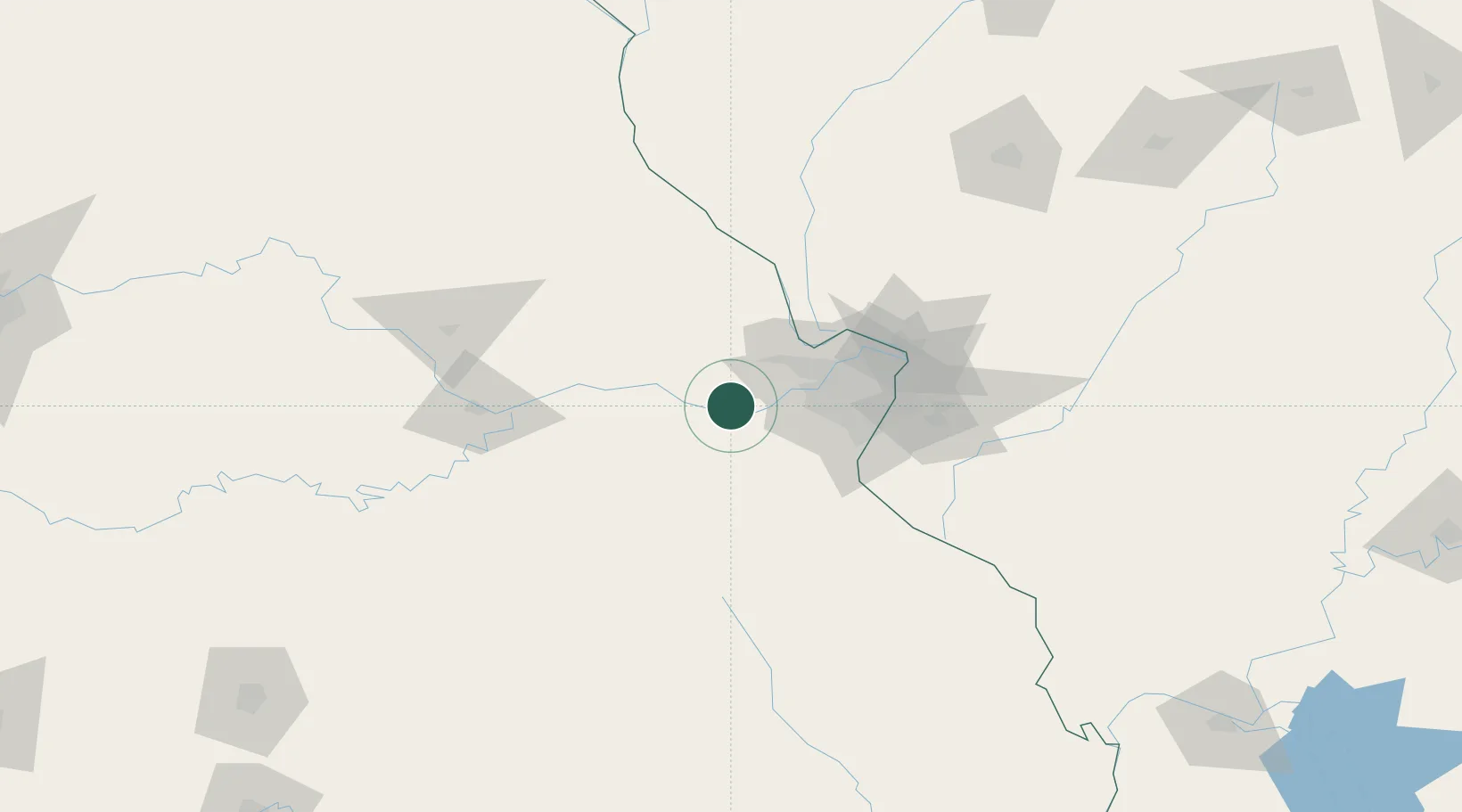
Hub Profile
Place type
Populated place
Region
Missouri
Time zone
America/Chicago
Elevation
151 m
Location
Nearby Logistics Neighbours
Cities
- 1Marthasville7 km
- 2Augusta11 km
- 3Labadie15 km
- 4Union, Franklin17 km
- 5Defiance19 km
Ports
- 1Port Of Memphis400 km
- 2Indiana Harbor455 km
- 3Calumet Harbor456 km
- 4Gary457 km
- 5Chicago464 km
Airports
Trade Zones
- 1FTZ No. 102 St. Louis County25 km
- 2FTZ No. 031 Granite City70 km
- 3FTZ No. 245 Decatur217 km
- 4FTZ No. 225 Springfield246 km
- 5FTZ No. 055 Burlington246 km
DatabookThe Record of Consolidated Knowledge
United States beyond logistics?