Transport Functions
Multimodal
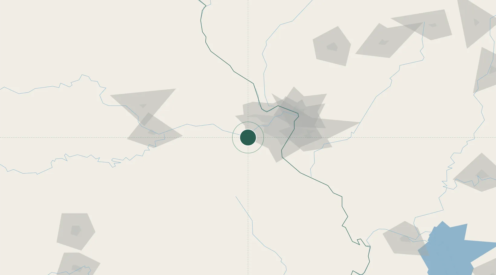
Hub Profile
Place type
Populated place
Region
Missouri
Time zone
America/Chicago
Elevation
159 m
Location
Nearby Logistics Neighbours
Cities
- 1Augusta6 km
- 2Saint Albans9 km
- 3Pacific10 km
- 4Catawissa13 km
- 5Dutzow15 km
Ports
- 1Port Of Memphis388 km
- 2Indiana Harbor455 km
- 3Calumet Harbor456 km
- 4Gary456 km
- 5Chicago465 km
Airports
Trade Zones
- 1FTZ No. 102 St. Louis County19 km
- 2FTZ No. 031 Granite City62 km
- 3FTZ No. 245 Decatur215 km
- 4FTZ No. 225 Springfield250 km
- 5FTZ No. 055 Burlington256 km
DatabookThe Record of Consolidated Knowledge
United States beyond logistics?