UN/LOCODE hub · United States
USVNJ

Vienna

40.8667°, -74.8833°
981
Population
1
Transport functions

Transport Functions

Multimodal
UN/LOCODE

Hub Profile

Place type
Populated place
GeoNames
Region
New Jersey
GeoNames
Population
981
GeoNames
Time zone
America/New_York
GeoNames
Elevation
173 m
GeoNames

Location

Location of USVNJ
Natural Earth 10m (public domain) · New Jersey · USVNJ · 40.87, -74.88GoogleOSMYandex

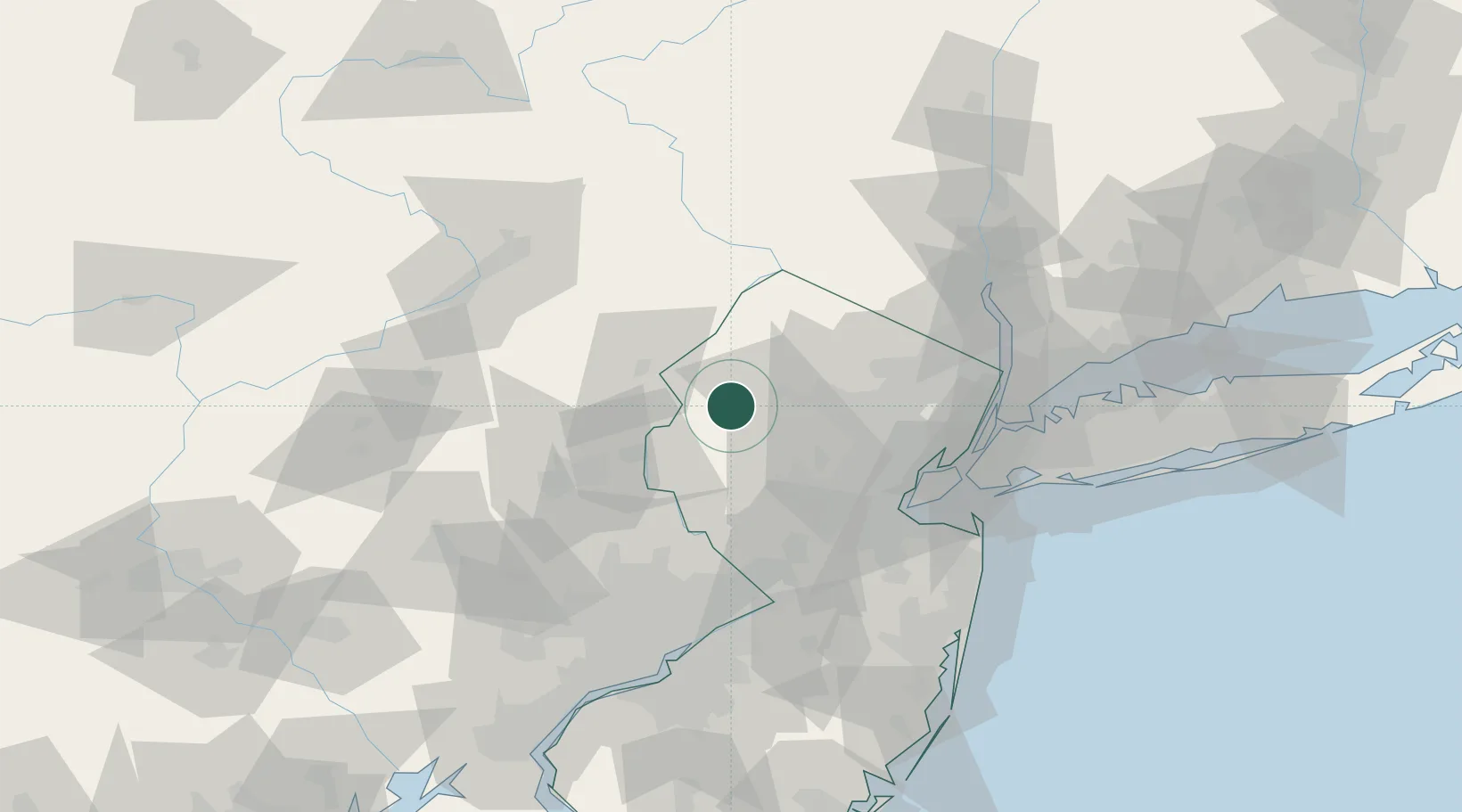
Nearby Logistics Neighbours

Cities
  1. 1Clarksburg9 km
  2. 2Johnsonburg9 km
  3. 3Port Murray9 km
  4. 4Washington14 km
  5. 5Portland18 km
Nearest neighbours — logibook spatial index (haversine) over the source coordinates
Ports
  1. 1Sayreville62 km
  2. 2Bayway63 km
  3. 3Elizabethport64 km
  4. 4Sewaren64 km
  5. 5Port Reading64 km
Nearest neighbours — logibook spatial index (haversine) over the source coordinates
Airports
  1. 1Morristown Municipal Airport40 km
  2. 2Lehigh Valley International Airport53 km
  3. 3Newark Liberty International Airport63 km
  4. 4Trenton Mercer Airport66 km
  5. 5Teterboro Airport69 km
Nearest neighbours — logibook spatial index (haversine) over the source coordinates
Trade Zones
  1. 1FTZ No. 044 Morris County2 km
  2. 2FTZ No. 037 Orange County58 km
  3. 3FTZ No. 049 Newark Elizabeth63 km
  4. 4FTZ No. 200 Mercer County65 km
  5. 5FTZ No. 001 New York City76 km
Nearest neighbours — logibook spatial index (haversine) over the source coordinates
DatabookThe Record of Consolidated Knowledge
United States beyond logistics?
Browse databook

All Sources

LocationsUN/LOCODE
UN/LOCODE — free
LocationsGeoNames
CC BY 4.0
Portsthe NGA World Port Index
Public domain (US gov)
AirportsOurAirports
Public domain
Trade Zonesthe World Bank SEZ database
CC BY 4.0
Trade ZonesOpen Zone Map
CC BY
← United States locations