Transport Functions
Rail
Road
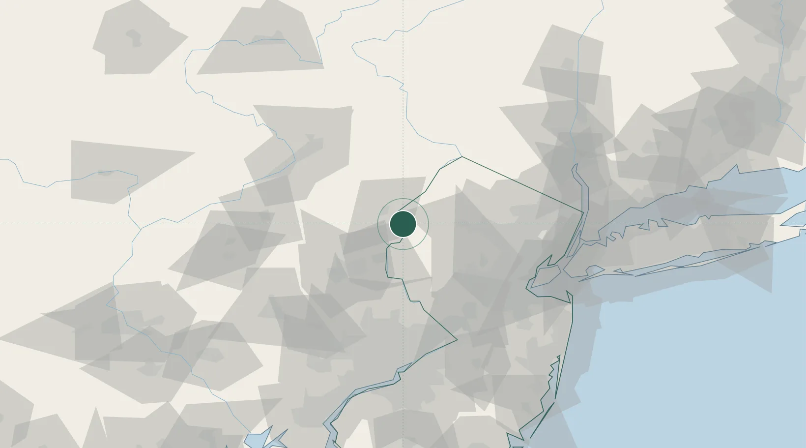
Hub Profile
Place type
Populated place
Region
Pennsylvania
Population
510
Time zone
America/New_York
Elevation
89 m
Location
Nearby Logistics Neighbours
Cities
- 1Columbia2 km
- 2Mount Bethel2 km
- 3East Bangor10 km
- 4Bangor13 km
- 5Clarksburg13 km
Ports
- 1Sayreville79 km
- 2Bayway81 km
- 3Sewaren81 km
- 4Elizabethport81 km
- 5Port Reading82 km
Airports
Trade Zones
DatabookThe Record of Consolidated Knowledge
United States beyond logistics?