UN/LOCODE hub · United States
USJO2
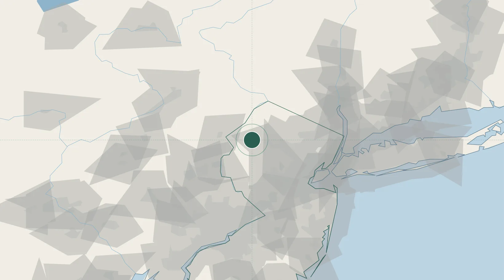
Johnsonburg
40.9500°, -74.8667°
101
Population
2
Transport functions
Transport Functions
Rail
Road
Hub Profile
Place type
Populated place
Region
New Jersey
Population
101
Time zone
America/New_York
Elevation
176 m
Location
Nearby Logistics Neighbours
Cities
- 1Vienna9 km
- 2Clarksburg16 km
- 3Bushkill19 km
- 4Portland19 km
- 5Point Pleasant19 km
Ports
- 1Bayway66 km
- 2Newark66 km
- 3Elizabethport67 km
- 4Carteret68 km
- 5Port Reading68 km
Airports
Trade Zones
DatabookThe Record of Consolidated Knowledge
United States beyond logistics?