Channel & Berth Profile
Pilotage, Tugs & Services
Pilotage compulsoryYES
Shore powerYES
Potable waterYES
Diesel bunkersYES
MedicalYES
Facilities & Capabilities
Container—
Ro-Ro—
Liquid bulk—
Dry bulk—
Oil terminal—
Break bulk—
Dry dock—
RepairsNO
BunkeringYES
Rail linkYES
Dangerous cargo—
ISPS security—
Harbour Specifications
Harbour size
Very Small
Harbour type
River (Natural)
Shelter
Good
Water body
North Atlantic Ocean
Tidal range
1.5 m
Overhead limit
Yes
Pilotage
Yes
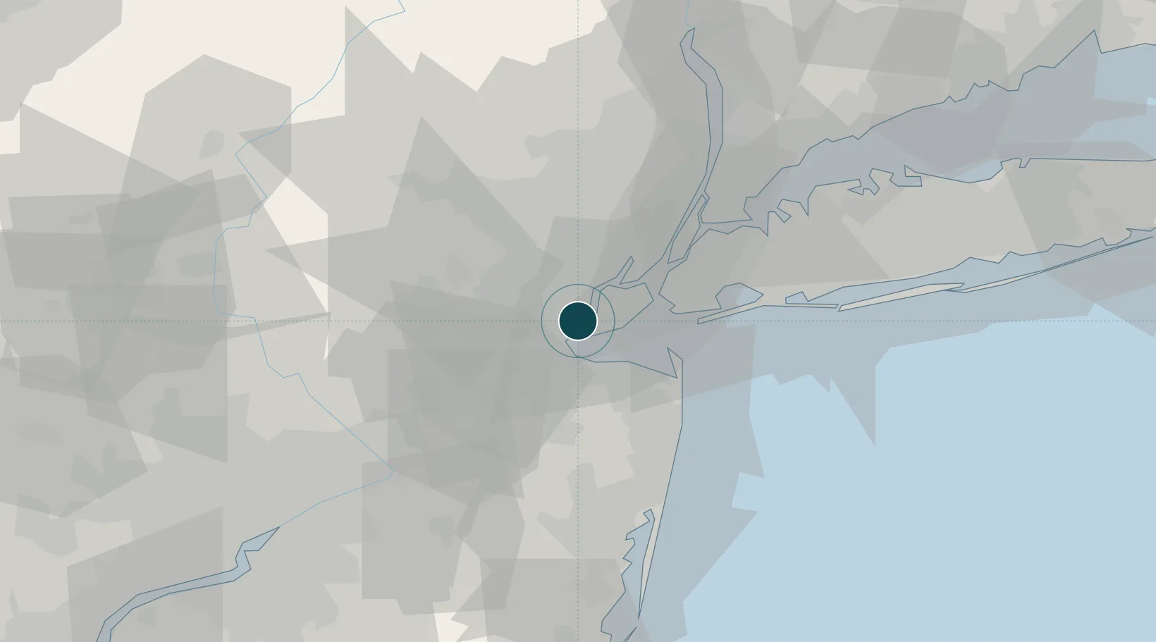
Location
Nearby Logistics Neighbours
Ports
- 1Port Reading2 km
- 2Chrome3 km
- 3Carteret5 km
- 4Perth Amboy6 km
- 5South Amboy8 km
Cities
- 1Perth Amboy2 km
- 2Woodbridge2 km
- 3Carteret2 km
- 4Tottenville, Staten Island4 km
- 5Colonia5 km
Airports
Trade Zones
DatabookThe Record of Consolidated Knowledge
United States beyond logistics?