UN/LOCODE hub · United States
USVET
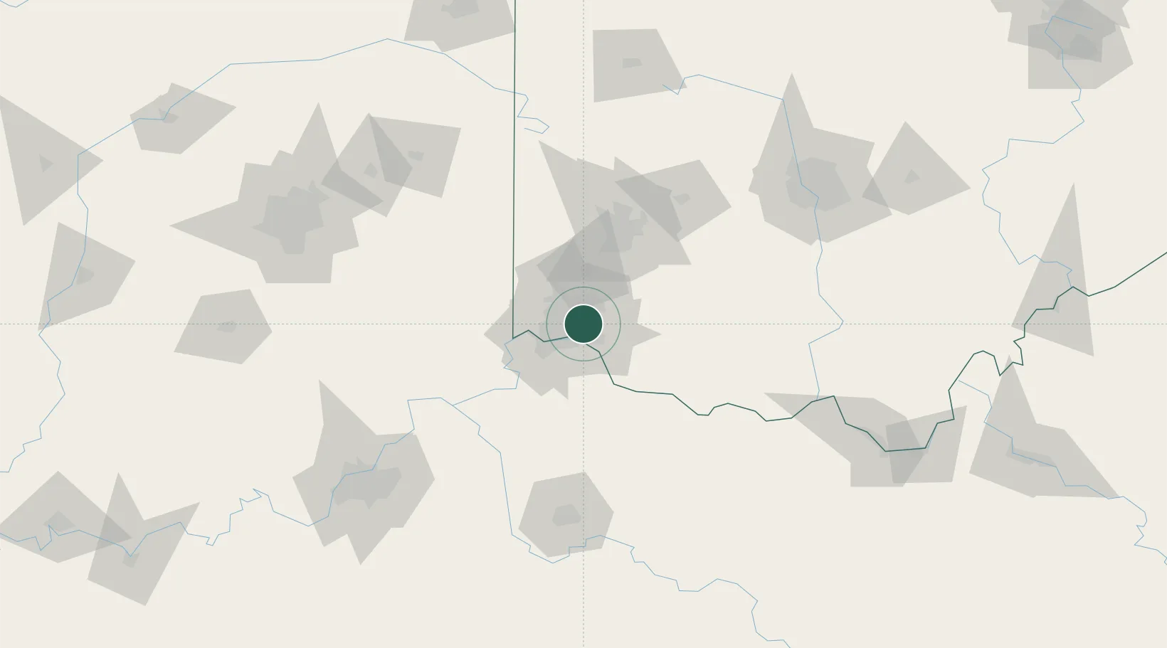
Silverton
39.1833°, -84.4000°
4,764
Population
2
Transport functions
Transport Functions
Rail
Road
Hub Profile
Place type
Populated place
Region
Ohio
Population
4,764
Time zone
America/New_York
Elevation
259 m
Location
Nearby Logistics Neighbours
Cities
- 1Evendale8 km
- 2Cincinnati9 km
- 3Camp Dennison9 km
- 4Dayton9 km
- 5Milford10 km
Ports
- 1Port Clinton288 km
- 2Sandusky290 km
- 3Toledo291 km
- 4Huron292 km
- 5Vermilion304 km
Airports
Trade Zones
- 1FTZ No. 046 CIncinnati14 km
- 2FTZ No. 047 Boone County49 km
- 3FTZ No. 054 Clinton County59 km
- 4FTZ No. 100 Dayton69 km
- 5FTZ No. 138 Franklin County144 km
DatabookThe Record of Consolidated Knowledge
United States beyond logistics?