UN/LOCODE hub · United States
USCVG
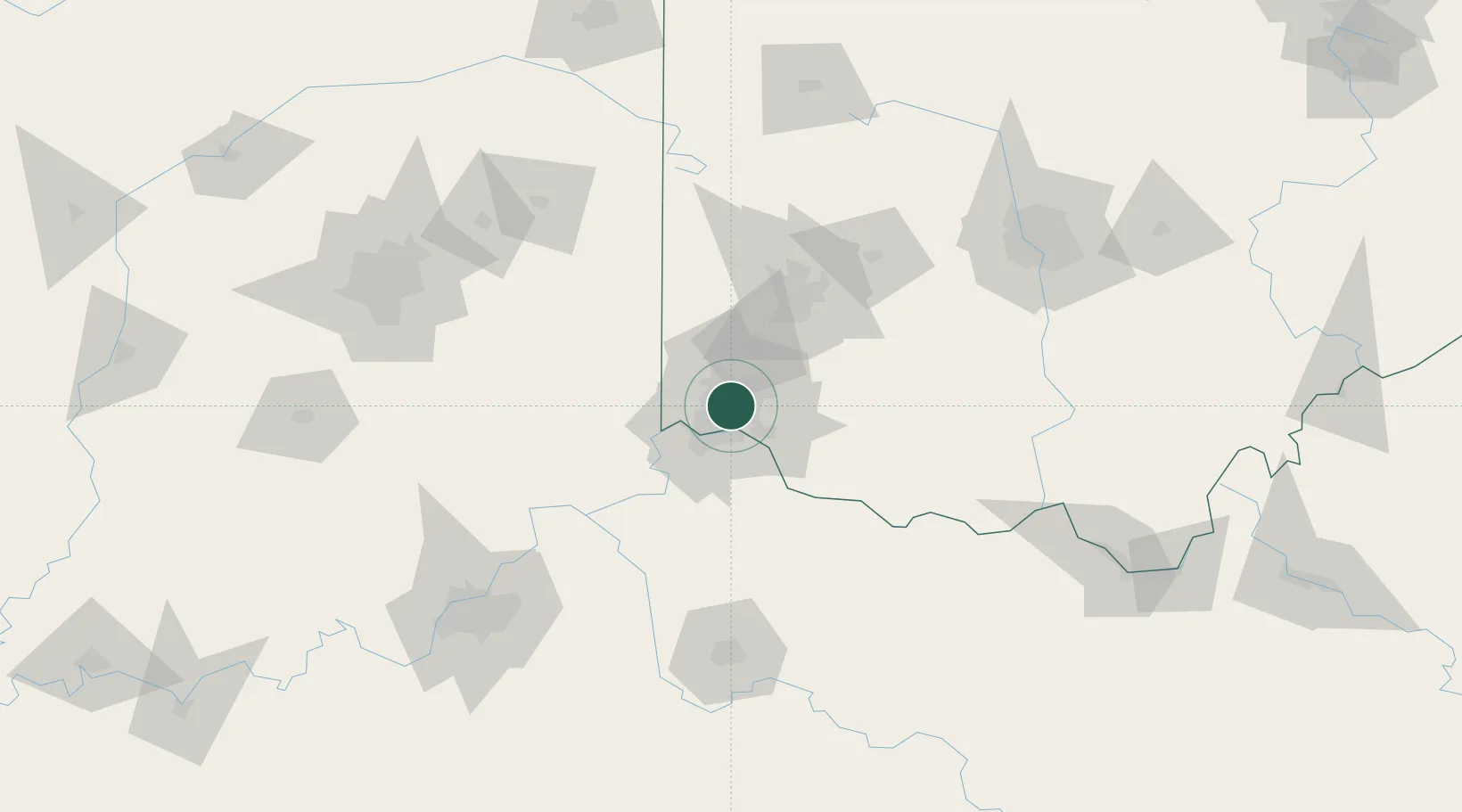
Cincinnati
39.2167°, -84.4885°
311,097
Population
3
Transport functions
Transport Functions
Port
Road
Airport
Hub Profile
Place type
Provincial seat
Region
Ohio
Population
311,097
Time zone
America/New_York
Elevation
191 m
Logistics facilities
21
Location
Nearby Logistics Neighbours
Cities
- 1North College Hill5 km
- 2Glendale6 km
- 3Evendale7 km
- 4Silverton9 km
- 5Dayton11 km
Ports
- 1Port Clinton288 km
- 2Toledo289 km
- 3Sandusky290 km
- 4Huron293 km
- 5Vermilion305 km
Airports
Trade Zones
- 1FTZ No. 046 CIncinnati13 km
- 2FTZ No. 047 Boone County45 km
- 3FTZ No. 054 Clinton County65 km
- 4FTZ No. 100 Dayton67 km
- 5FTZ No. 138 Franklin County149 km
DatabookThe Record of Consolidated Knowledge
United States beyond logistics?