UN/LOCODE hub · United States
USNNI
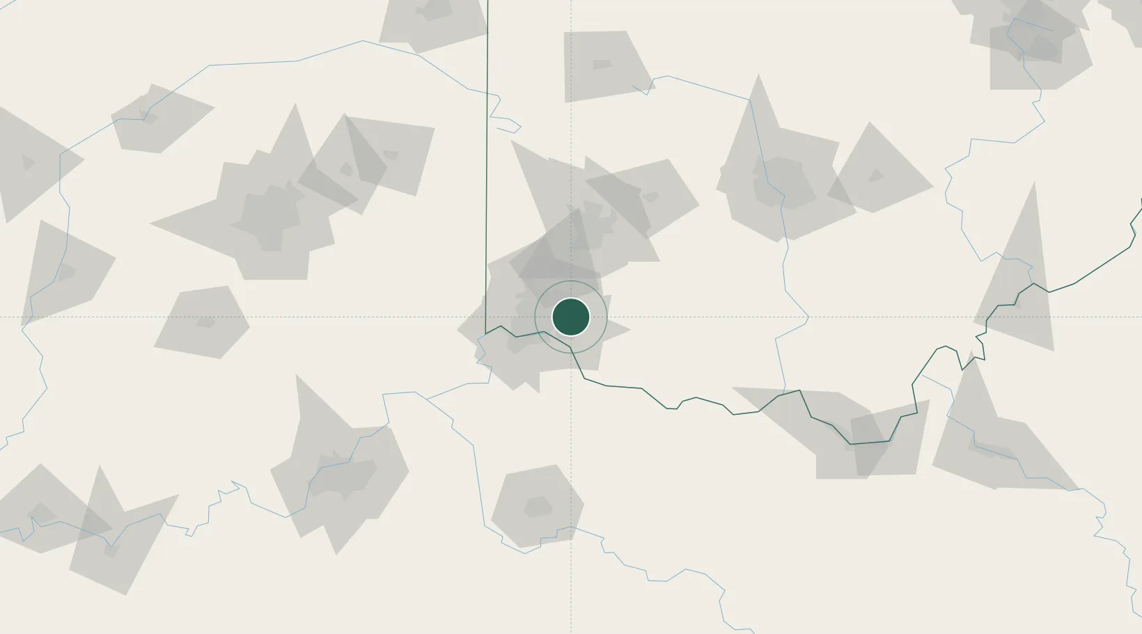
Camp Dennison
39.2000°, -84.3000°
375
Population
2
Transport functions
Transport Functions
Road
Multimodal
Hub Profile
Place type
Populated place
Region
Ohio
Population
375
Time zone
America/New_York
Elevation
176 m
Location
Nearby Logistics Neighbours
Cities
- 1Milford4 km
- 2Silverton9 km
- 3Highpoint11 km
- 4Evendale12 km
- 5Westchester16 km
Ports
- 1Port Clinton282 km
- 2Sandusky284 km
- 3Huron286 km
- 4Toledo287 km
- 5Vermilion298 km
Airports
Trade Zones
- 1FTZ No. 046 CIncinnati22 km
- 2FTZ No. 054 Clinton County51 km
- 3FTZ No. 047 Boone County57 km
- 4FTZ No. 100 Dayton66 km
- 5FTZ No. 138 Franklin County136 km
DatabookThe Record of Consolidated Knowledge
United States beyond logistics?