Transport Functions
Port
Rail
Road
Hub Profile
Place type
Populated place
Region
Kentucky
Population
5,433
Time zone
America/New_York
Elevation
157 m
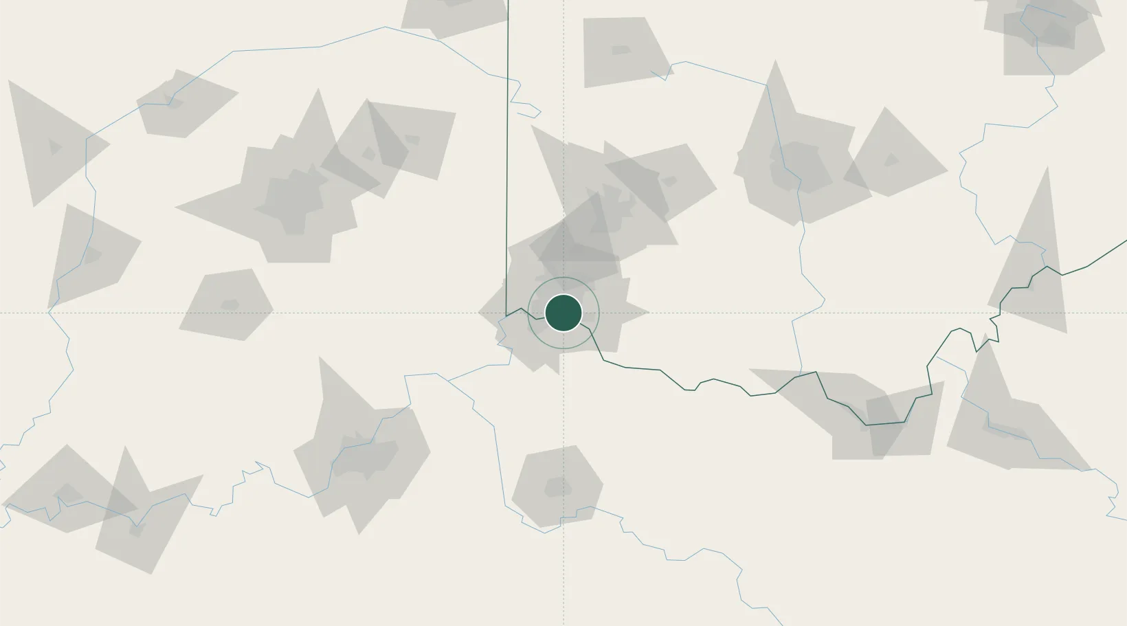
Location
Nearby Logistics Neighbours
Cities
- 1Southgate6 km
- 2Fort Mitchell9 km
- 3Silverton9 km
- 4Cincinnati11 km
- 5Delhi12 km
Ports
- 1Port Clinton297 km
- 2Sandusky299 km
- 3Toledo300 km
- 4Huron302 km
- 5Vermilion313 km
Airports
Trade Zones
- 1FTZ No. 046 CIncinnati5 km
- 2FTZ No. 047 Boone County40 km
- 3FTZ No. 054 Clinton County68 km
- 4FTZ No. 100 Dayton77 km
- 5FTZ No. 029 Louisville149 km
DatabookThe Record of Consolidated Knowledge
United States beyond logistics?