Transport Functions
Port
Rail
Road
Multimodal
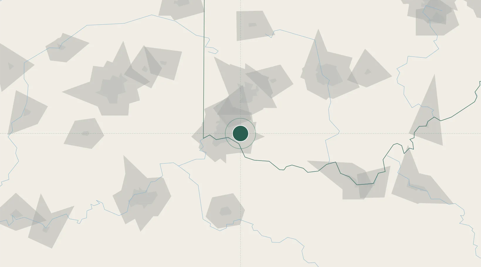
Hub Profile
Place type
Populated place
Region
Ohio
Population
6,876
Time zone
America/New_York
Elevation
167 m
Location
Nearby Logistics Neighbours
Cities
- 1Camp Dennison4 km
- 2Silverton10 km
- 3Evendale15 km
- 4Highpoint15 km
- 5Dayton17 km
Ports
- 1Port Clinton285 km
- 2Sandusky287 km
- 3Huron289 km
- 4Toledo290 km
- 5Vermilion300 km
Airports
Trade Zones
- 1FTZ No. 046 CIncinnati21 km
- 2FTZ No. 054 Clinton County52 km
- 3FTZ No. 047 Boone County57 km
- 4FTZ No. 100 Dayton70 km
- 5FTZ No. 138 Franklin County136 km
DatabookThe Record of Consolidated Knowledge
United States beyond logistics?