UN/LOCODE hub · United States
USTTP

Tipton

40.6333°, -78.3000°
1,083
Population
3
Transport functions

Transport Functions

Rail
Road
Multimodal
UN/LOCODE

Hub Profile

Place type
Populated place
GeoNames
Region
Pennsylvania
GeoNames
Population
1,083
GeoNames
Time zone
America/New_York
GeoNames
Elevation
304 m
GeoNames

Location

Location of USTTP
Natural Earth 10m (public domain) · Pennsylvania · USTTP · 40.63, -78.30GoogleOSMYandex

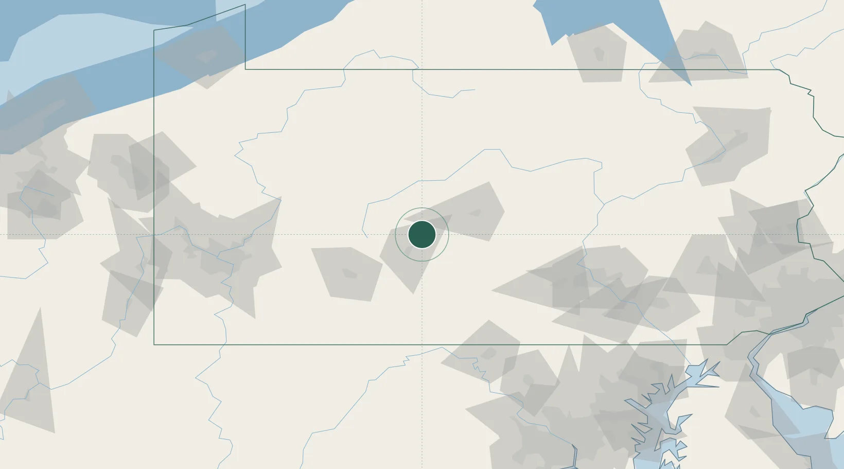
Nearby Logistics Neighbours

Cities
  1. 1Bellwood5 km
  2. 2Ashville22 km
  3. 3Hollidaysburg25 km
  4. 4Irvona26 km
  5. 5Newry30 km
Nearest neighbours — logibook spatial index (haversine) over the source coordinates
Ports
  1. 1Baltimore211 km
  2. 2Dunkirk223 km
  3. 3Washington D.C.224 km
  4. 4Havre De Grace225 km
  5. 5Erie226 km
Nearest neighbours — logibook spatial index (haversine) over the source coordinates
Airports
  1. 1Altoona Blair County Airport38 km
  2. 2State College Regional Airport45 km
  3. 3John Murtha Johnstown Cambria County Airport57 km
  4. 4DuBois Regional Airport79 km
  5. 5Arnold Palmer Regional Airport102 km
Nearest neighbours — logibook spatial index (haversine) over the source coordinates
Trade Zones
  1. 1FTZ No. 295 Central Pennsylvania64 km
  2. 2FTZ No. 254 Jefferson County97 km
  3. 3FTZ No. 240 Martinsburg133 km
  4. 4FTZ No. 033 Pittsburgh150 km
  5. 5FTZ No. 147 Berks County174 km
Nearest neighbours — logibook spatial index (haversine) over the source coordinates
DatabookThe Record of Consolidated Knowledge
United States beyond logistics?
Browse databook

All Sources

LocationsUN/LOCODE
UN/LOCODE — free
LocationsGeoNames
CC BY 4.0
Portsthe NGA World Port Index
Public domain (US gov)
AirportsOurAirports
Public domain
Trade Zonesthe World Bank SEZ database
CC BY 4.0
Trade ZonesOpen Zone Map
CC BY
← United States locations