Transport Functions
Port
Rail
Road
Hub Profile
Place type
Populated place
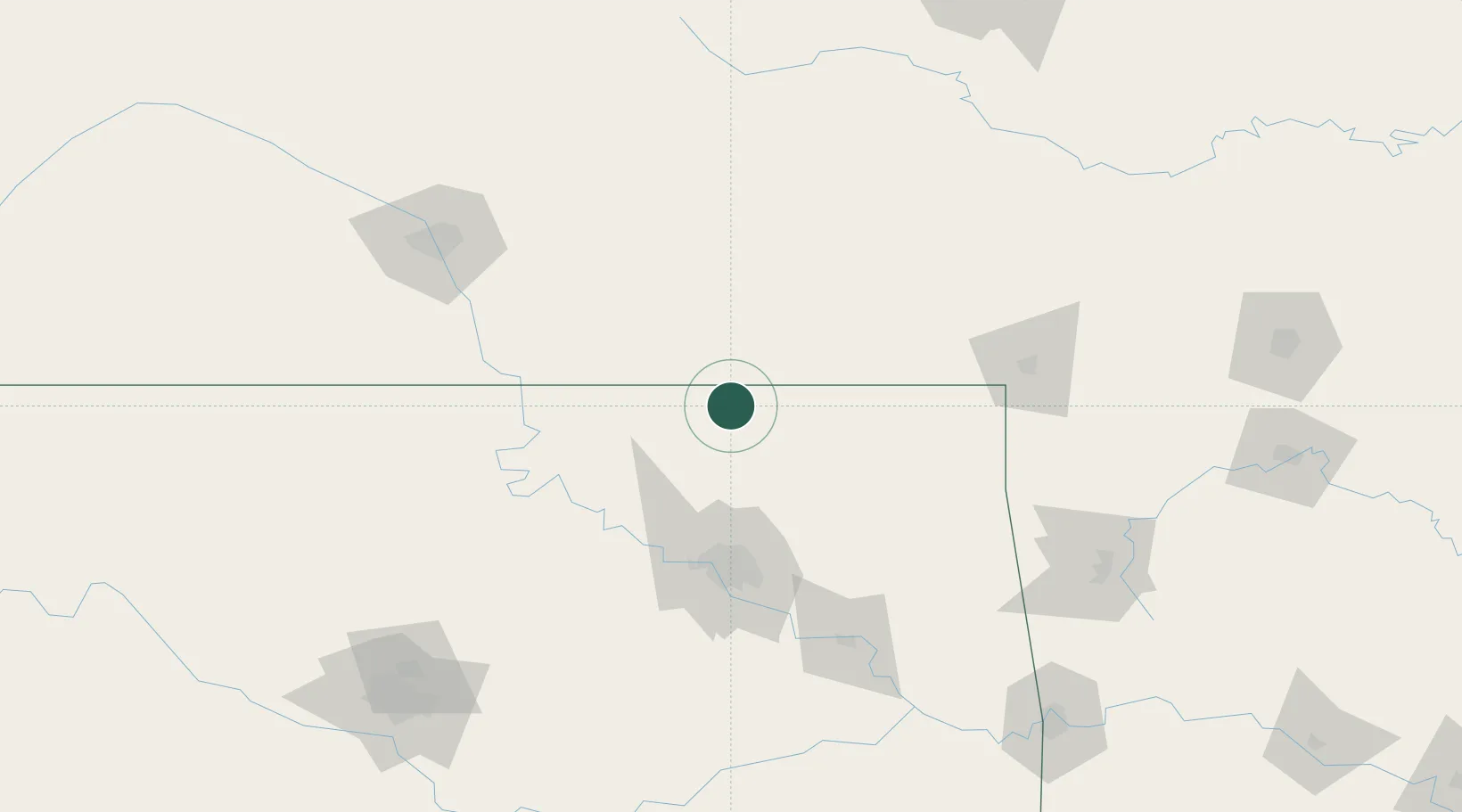
Region
Oklahoma
Population
741
Time zone
America/Chicago
Elevation
234 m
Location
Nearby Logistics Neighbours
Ports
- 1Port Of Memphis557 km
- 2Beaumont777 km
- 3Lake Charles784 km
- 4Orange785 km
- 5Port Neches789 km
Airports
Trade Zones
- 1FTZ No. 053 Rogers County63 km
- 2FTZ No. 164 Muskogee137 km
- 3FTZ No. 161 Sedgwick County184 km
- 4FTZ No. 106 Oklahoma City214 km
- 5FTZ No. 015 Kansas City234 km
DatabookThe Record of Consolidated Knowledge
United States beyond logistics?