UN/LOCODE hub · United States
USTPI
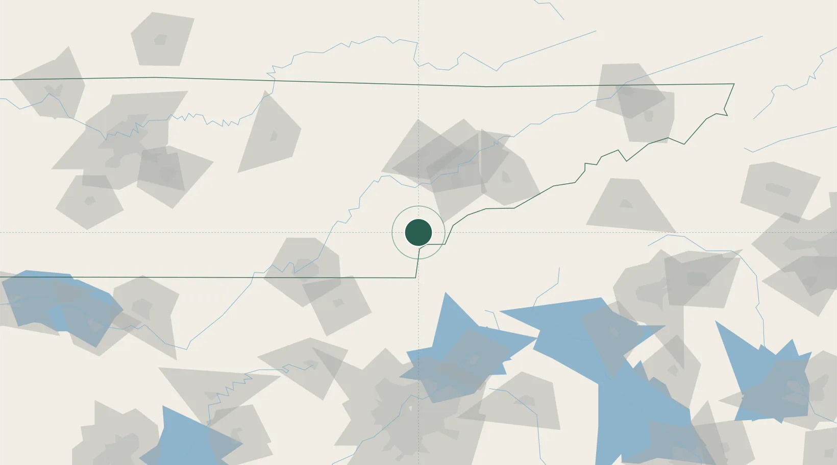
Tellico Plains
35.3667°, -84.3000°
942
Population
2
Transport functions
Transport Functions
Rail
Road
Hub Profile
Place type
Populated place
Region
Tennessee
Population
942
Time zone
America/New_York
Elevation
267 m
Location
Nearby Logistics Neighbours
Ports
- 1Beaufort468 km
- 2Savannah471 km
- 3Port Royal472 km
- 4Darien518 km
- 5Brunswick536 km
Airports
Trade Zones
- 1FTZ No. 148 Knoxville70 km
- 2FTZ No. 134 Chattanooga102 km
- 3FTZ No. 026 Atlanta179 km
- 4FTZ No. 038 Spartanburg County194 km
- 5FTZ No. 204 Tri-Cities211 km
DatabookThe Record of Consolidated Knowledge
United States beyond logistics?