Transport Functions
Multimodal
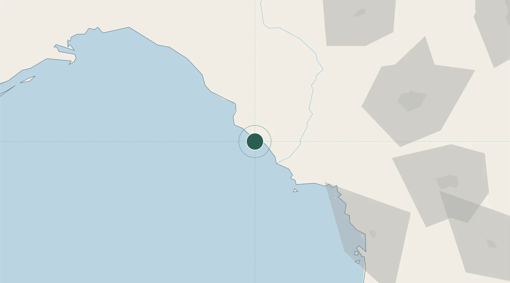
Hub Profile
Place type
Populated place
Region
Florida
Population
23,366
Time zone
America/New_York
Elevation
42 m
Location
Nearby Logistics Neighbours
Cities
- 1Trenton49 km
- 2Branford68 km
- 3Fort White77 km
- 4McAlpin84 km
- 5Alachua87 km
Ports
- 1Carrabelle142 km
- 2Tarpon Springs151 km
- 3Apalachicola167 km
- 4Jacksonville186 km
- 5Tampa187 km
Airports
- 1Gainesville Regional Airport102 km
- 2Tallahassee International Airport149 km
- 3Valdosta Regional Airport150 km
- 4Leesburg International Airport159 km
- 5Cecil Airport161 km
Trade Zones
- 1FTZ No. 193 Pinellas County157 km
- 2FTZ No. 064 Jacksonville163 km
- 3FTZ No. 198 Volusia County184 km
- 4FTZ No. 079 Tampa184 km
- 5FTZ No. 250 Seminole County202 km
DatabookThe Record of Consolidated Knowledge
United States beyond logistics?