Transport Functions
Road
Multimodal
Hub Profile
Place type
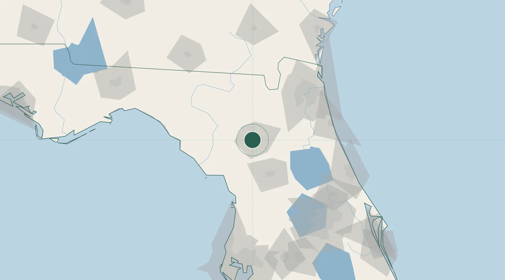
Populated place
Region
Florida
Time zone
America/New_York
Elevation
49 m
Location
Nearby Logistics Neighbours
Cities
- 1Alachua15 km
- 2Trenton41 km
- 3Fort White41 km
- 4Raiford46 km
- 5Edgar51 km
Ports
- 1Jacksonville102 km
- 2St Augustine108 km
- 3Mayport124 km
- 4Fernandina Beach144 km
- 5Tarpon Springs172 km
Airports
Trade Zones
- 1FTZ No. 064 Jacksonville86 km
- 2FTZ No. 198 Volusia County117 km
- 3FTZ No. 250 Seminole County144 km
- 4FTZ No. 042 Orlando158 km
- 5FTZ No. 193 Pinellas County180 km
DatabookThe Record of Consolidated Knowledge
United States beyond logistics?