UN/LOCODE hub · United States
USTNX
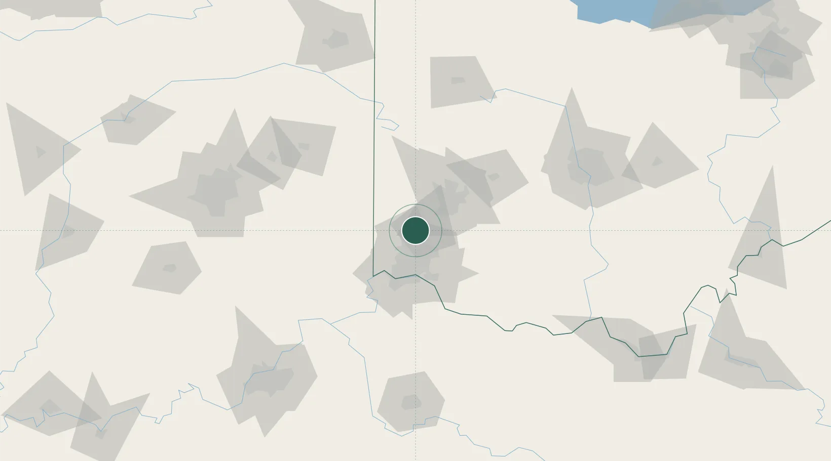
Trenton
39.4833°, -84.4667°
12,281
Population
2
Transport functions
Transport Functions
Rail
Road
Hub Profile
Place type
Populated place
Region
Ohio
Population
12,281
Time zone
America/New_York
Elevation
198 m
Location
Nearby Logistics Neighbours
Cities
- 1Mayfield, Butler9 km
- 2New Miami9 km
- 3Somerville16 km
- 4Germantown17 km
- 5Westchester19 km
Ports
- 1Toledo261 km
- 2Port Clinton261 km
- 3Sandusky264 km
- 4Huron268 km
- 5Put In Bay278 km
Airports
Trade Zones
- 1FTZ No. 100 Dayton38 km
- 2FTZ No. 046 CIncinnati43 km
- 3FTZ No. 054 Clinton County59 km
- 4FTZ No. 047 Boone County68 km
- 5FTZ No. 138 Franklin County136 km
DatabookThe Record of Consolidated Knowledge
United States beyond logistics?