Transport Functions
Multimodal
Hub Profile
Place type
Populated place
Region
Ohio
Time zone
America/New_York
Elevation
199 m
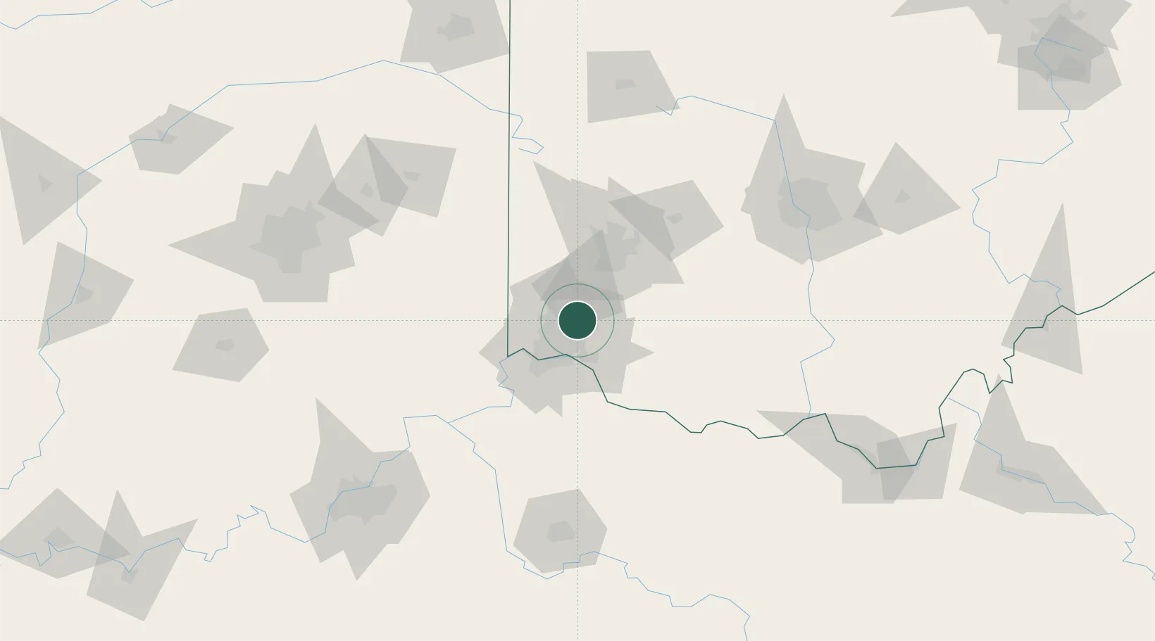
Location
Nearby Logistics Neighbours
Cities
- 1Highpoint5 km
- 2Evendale8 km
- 3Glendale8 km
- 4Kings Mills13 km
- 5Cincinnati14 km
Ports
- 1Port Clinton274 km
- 2Toledo277 km
- 3Sandusky277 km
- 4Huron280 km
- 5Vermilion292 km
Airports
Trade Zones
- 1FTZ No. 046 CIncinnati26 km
- 2FTZ No. 054 Clinton County54 km
- 3FTZ No. 100 Dayton54 km
- 4FTZ No. 047 Boone County58 km
- 5FTZ No. 138 Franklin County137 km
DatabookThe Record of Consolidated Knowledge
United States beyond logistics?