UN/LOCODE hub · United States
USTG2
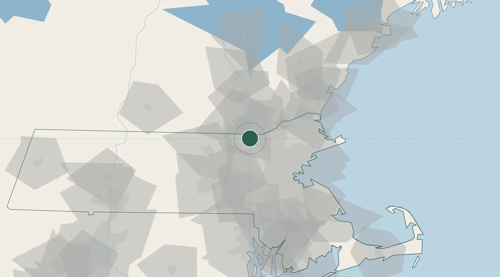
Tyngsboro
42.6667°, -71.4167°
11,366
Population
2
Transport functions
Transport Functions
Rail
Road
Hub Profile
Place type
Populated place
Region
Massachusetts
Population
11,366
Time zone
America/New_York
Elevation
42 m
Location
Nearby Logistics Neighbours
Cities
- 1North Chelmsford5 km
- 2Carlisle16 km
- 3Devenscrest18 km
- 4Boxboro22 km
- 5Concord25 km
Ports
- 1Lynn45 km
- 2Beverly46 km
- 3Boston46 km
- 4Salem47 km
- 5Newburyport48 km
Airports
Trade Zones
DatabookThe Record of Consolidated Knowledge
United States beyond logistics?