UN/LOCODE hub · United States
USBXC

Boxboro

42.4833°, -71.5167°
2
Transport functions

Transport Functions

Road
Multimodal
UN/LOCODE

Hub Profile

Region
MA
GeoNames

Location

Location of USBXC
Natural Earth 10m (public domain) · MA · USBXC · 42.48, -71.52GoogleOSMYandex

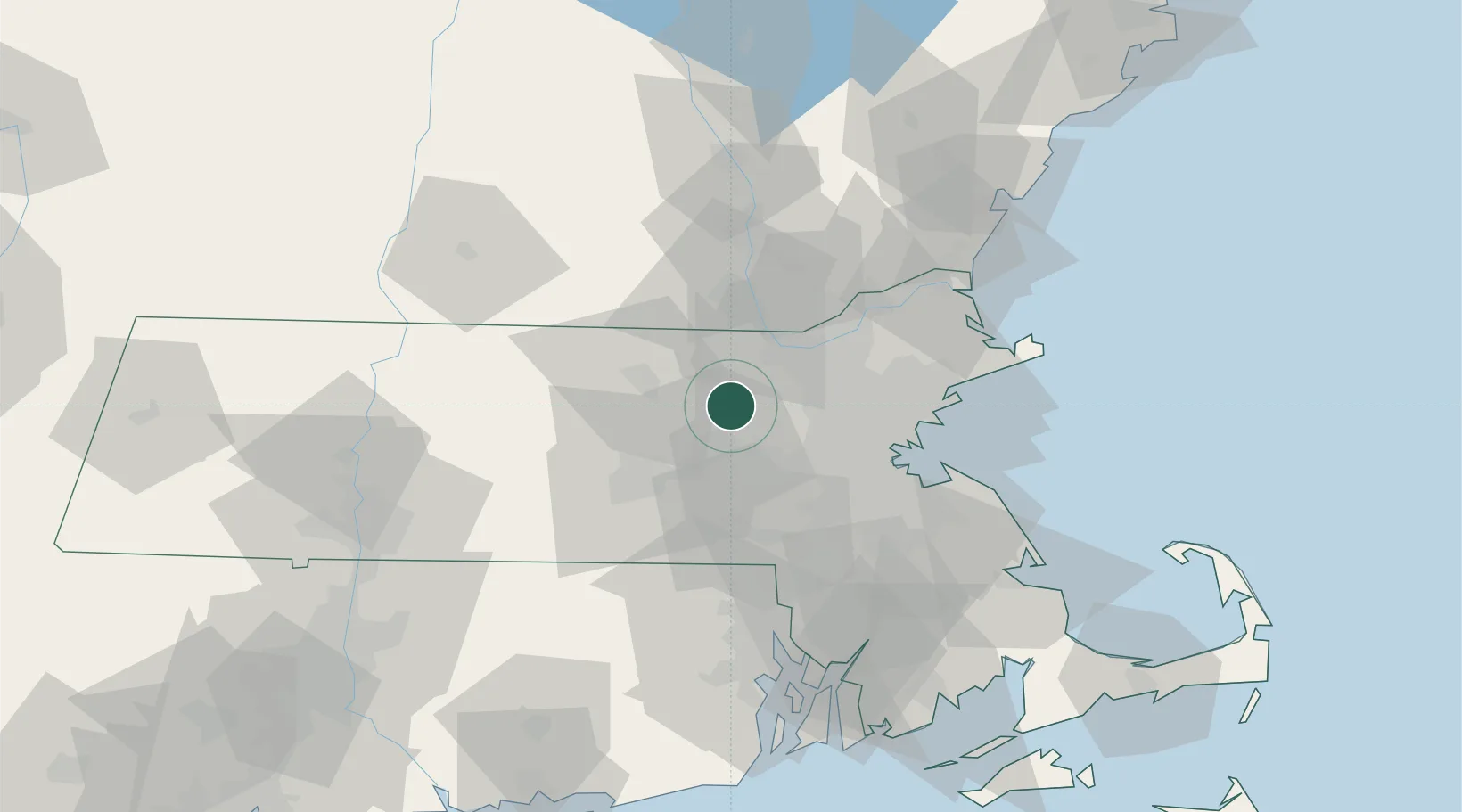
Nearby Logistics Neighbours

Cities
  1. 1Devenscrest9 km
  2. 2Lancaster13 km
  3. 3Carlisle15 km
  4. 4Marlborough, Middlesex15 km
  5. 5Concord16 km
Nearest neighbours — logibook spatial index (haversine) over the source coordinates
Ports
  1. 1Boston41 km
  2. 2Lynn47 km
  3. 3Salem52 km
  4. 4Quincy52 km
  5. 5Beverly52 km
Nearest neighbours — logibook spatial index (haversine) over the source coordinates
Airports
  1. 1Laurence G Hanscom Field19 km
  2. 2Worcester Regional Airport38 km
  3. 3Lawrence Municipal Airport41 km
  4. 4Norwood Memorial Airport43 km
  5. 5Boston Logan International Airport44 km
Nearest neighbours — logibook spatial index (haversine) over the source coordinates
Trade Zones
  1. 1FTZ No. 027 Boston38 km
  2. 2FTZ No. 105 Providence and North Kingstown74 km
  3. 3FTZ No. 081 Portsmouth84 km
  4. 4FTZ No. 268 Brattleboro98 km
  5. 5FTZ No. 028 New Bedford101 km
Nearest neighbours — logibook spatial index (haversine) over the source coordinates
DatabookThe Record of Consolidated Knowledge
United States beyond logistics?
Browse databook

All Sources

LocationsUN/LOCODE
UN/LOCODE — free
Portsthe NGA World Port Index
Public domain (US gov)
AirportsOurAirports
Public domain
Trade Zonesthe World Bank SEZ database
CC BY 4.0
Trade ZonesOpen Zone Map
CC BY
← United States locations