UN/LOCODE hub · United States
USCSJ
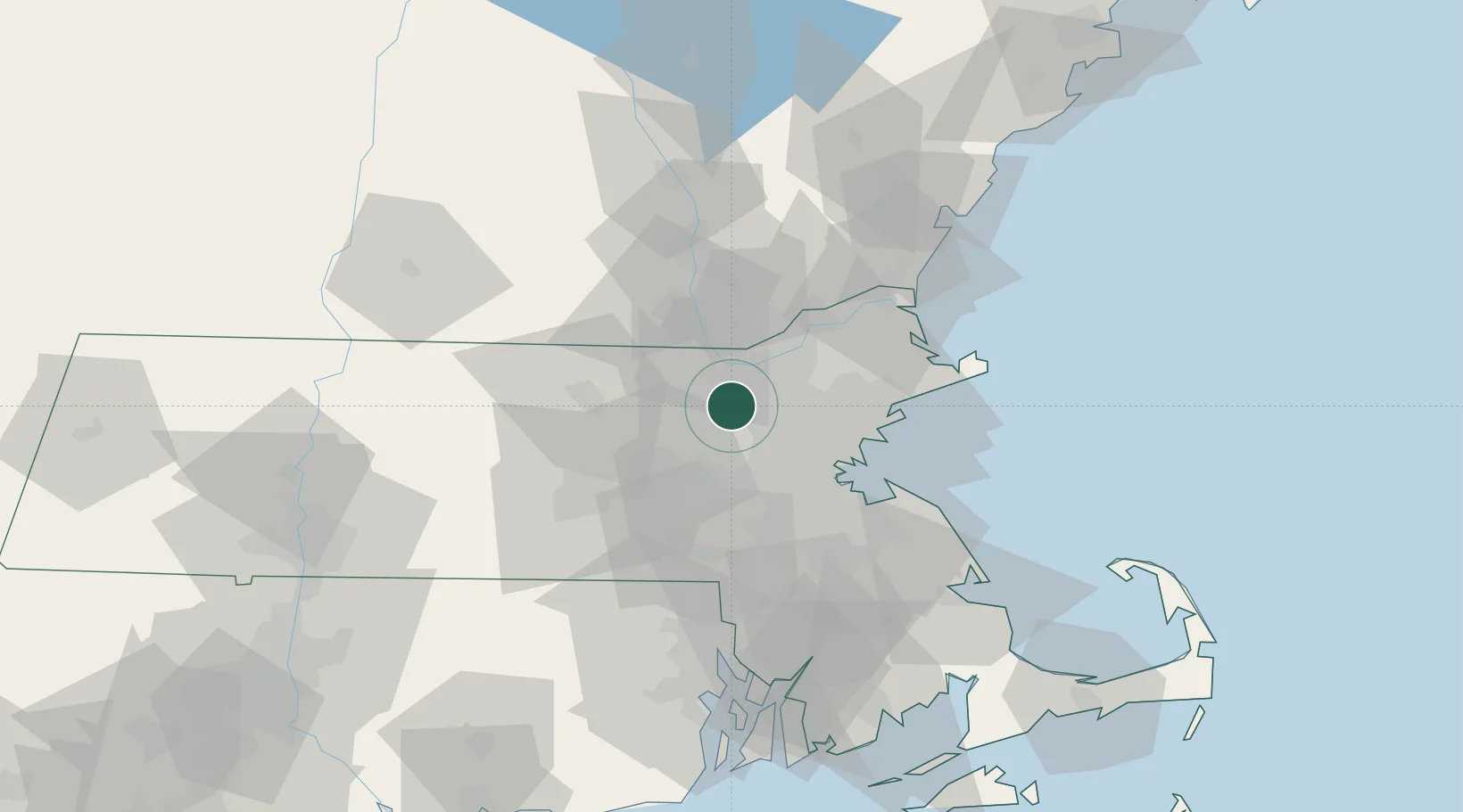
Carlisle
42.5333°, -71.3500°
4,799
Population
2
Transport functions
Transport Functions
Port
Road
Hub Profile
Place type
Populated place
Region
Massachusetts
Population
4,799
Time zone
America/New_York
Elevation
61 m
Location
Nearby Logistics Neighbours
Cities
- 1Concord9 km
- 2North Chelmsford11 km
- 3Boxboro15 km
- 4Tyngsboro16 km
- 5Devenscrest18 km
Ports
- 1Boston32 km
- 2Lynn34 km
- 3Beverly38 km
- 4Salem38 km
- 5Marblehead41 km
Airports
Trade Zones
- 1FTZ No. 027 Boston31 km
- 2FTZ No. 081 Portsmouth71 km
- 3FTZ No. 105 Providence and North Kingstown80 km
- 4FTZ No. 028 New Bedford101 km
- 5FTZ No. 268 Brattleboro109 km
DatabookThe Record of Consolidated Knowledge
United States beyond logistics?