UN/LOCODE hub · United States
USTEI
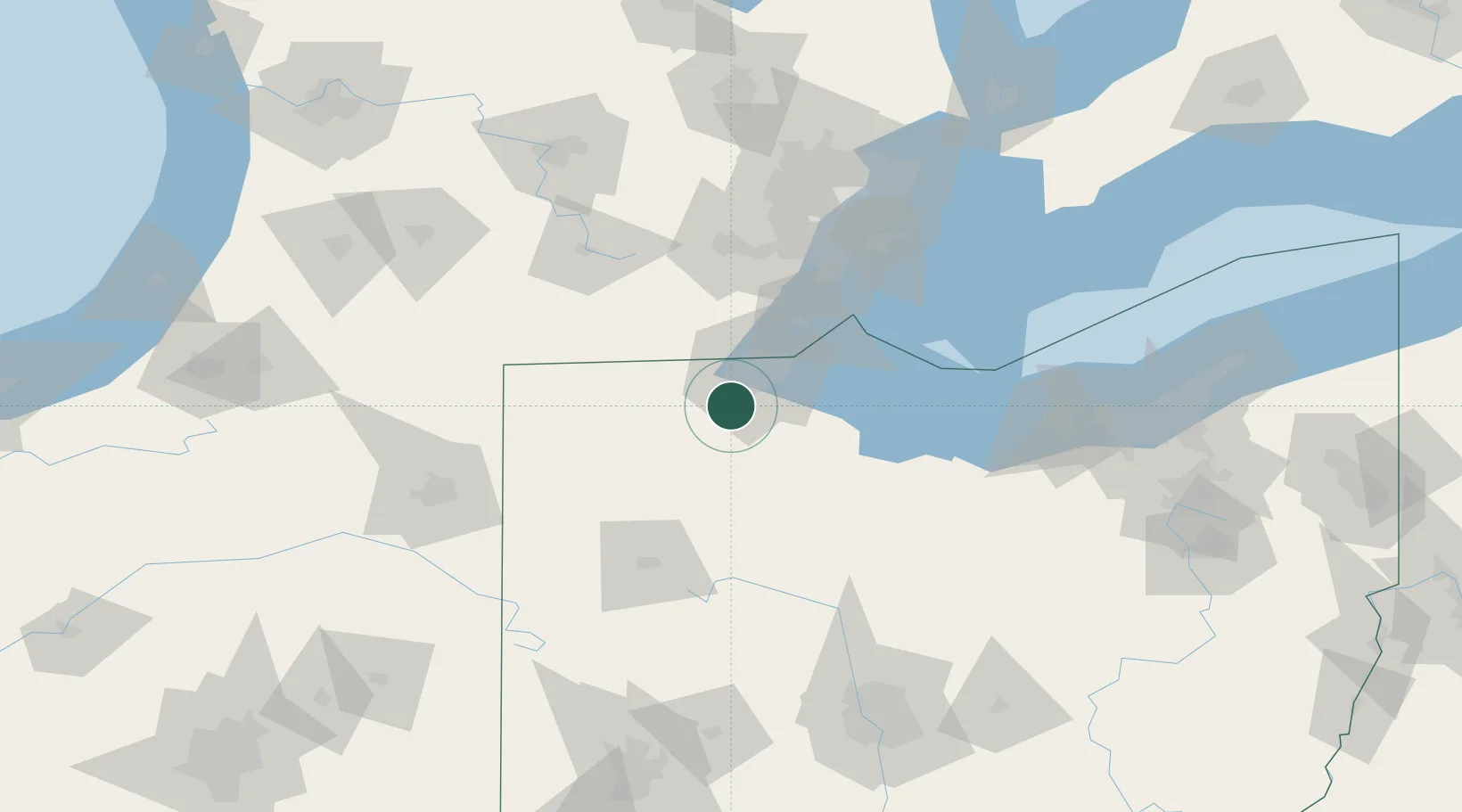
Waterville
41.5000°, -83.7167°
5,514
Population
3
Transport functions
Transport Functions
Rail
Road
Multimodal
Hub Profile
Place type
Populated place
Region
Ohio
Population
5,514
Time zone
America/New_York
Elevation
187 m
Location
Nearby Logistics Neighbours
Cities
- 1Haskins6 km
- 2Toledo15 km
- 3Weston19 km
- 4Walbridge22 km
- 5Northwood, Wood24 km
Ports
- 1Toledo30 km
- 2Monroe53 km
- 3Port Clinton65 km
- 4Put In Bay77 km
- 5Sandusky84 km
Airports
Trade Zones
- 1FTZ No. 008 Toledo23 km
- 2FTZ No. 151 Findlay51 km
- 3FTZ No. 070 Detroit103 km
- 4Windsor - Essex Foreign Trade Zone107 km
- 5FTZ No. 182 Fort Wayne140 km
DatabookThe Record of Consolidated Knowledge
United States beyond logistics?