Transport Functions
Road
Multimodal
Hub Profile
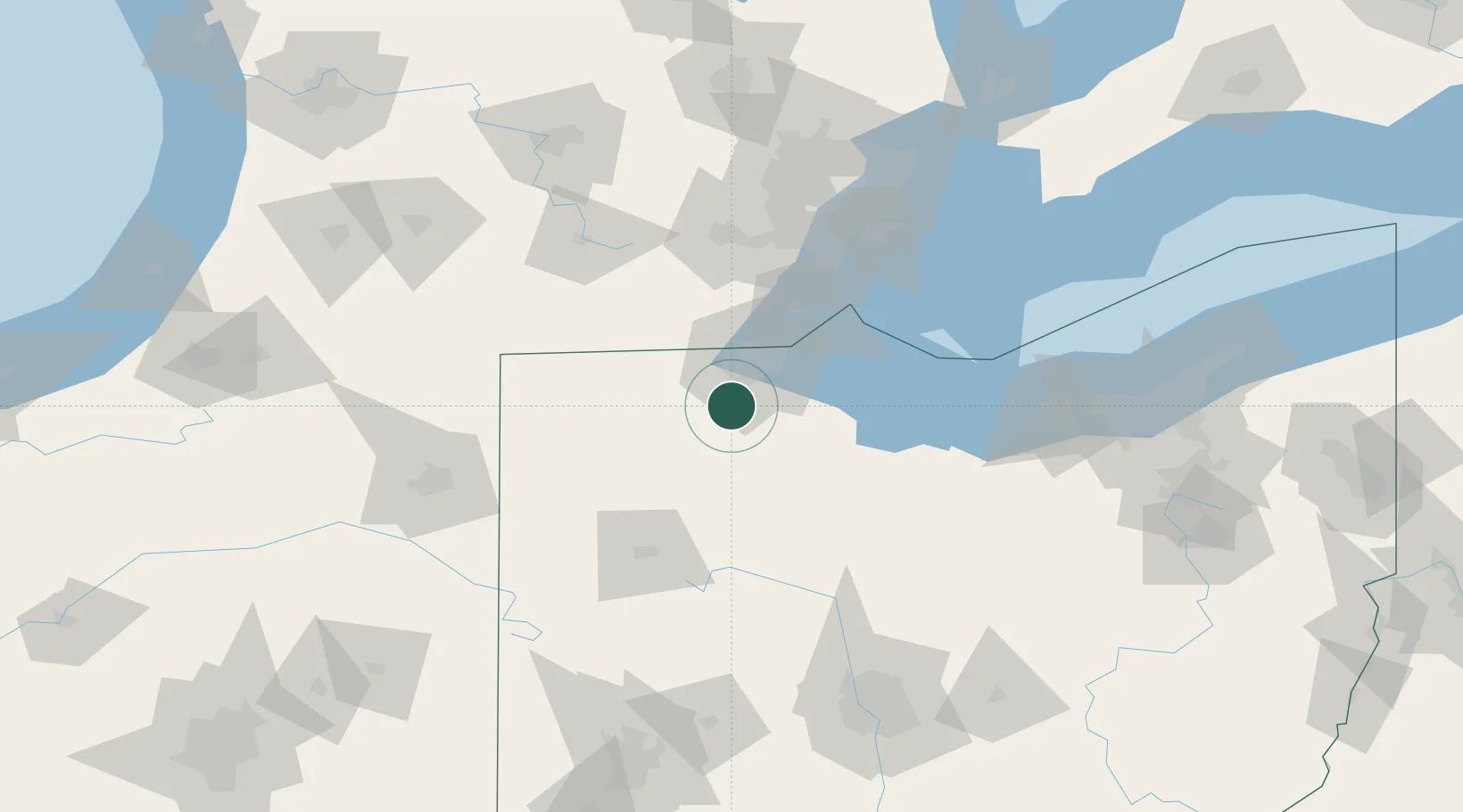
Place type
Populated place
Region
Ohio
Population
1,232
Time zone
America/New_York
Elevation
200 m
Location
Nearby Logistics Neighbours
Cities
- 1Waterville6 km
- 2Weston15 km
- 3Toledo20 km
- 4Custar22 km
- 5Walbridge23 km
Ports
- 1Toledo34 km
- 2Monroe57 km
- 3Port Clinton64 km
- 4Put In Bay77 km
- 5Sandusky82 km
Airports
Trade Zones
- 1FTZ No. 008 Toledo27 km
- 2FTZ No. 151 Findlay45 km
- 3FTZ No. 070 Detroit107 km
- 4Windsor - Essex Foreign Trade Zone111 km
- 5FTZ No. 182 Fort Wayne139 km
DatabookThe Record of Consolidated Knowledge
United States beyond logistics?