UN/LOCODE hub · United States
USHNT
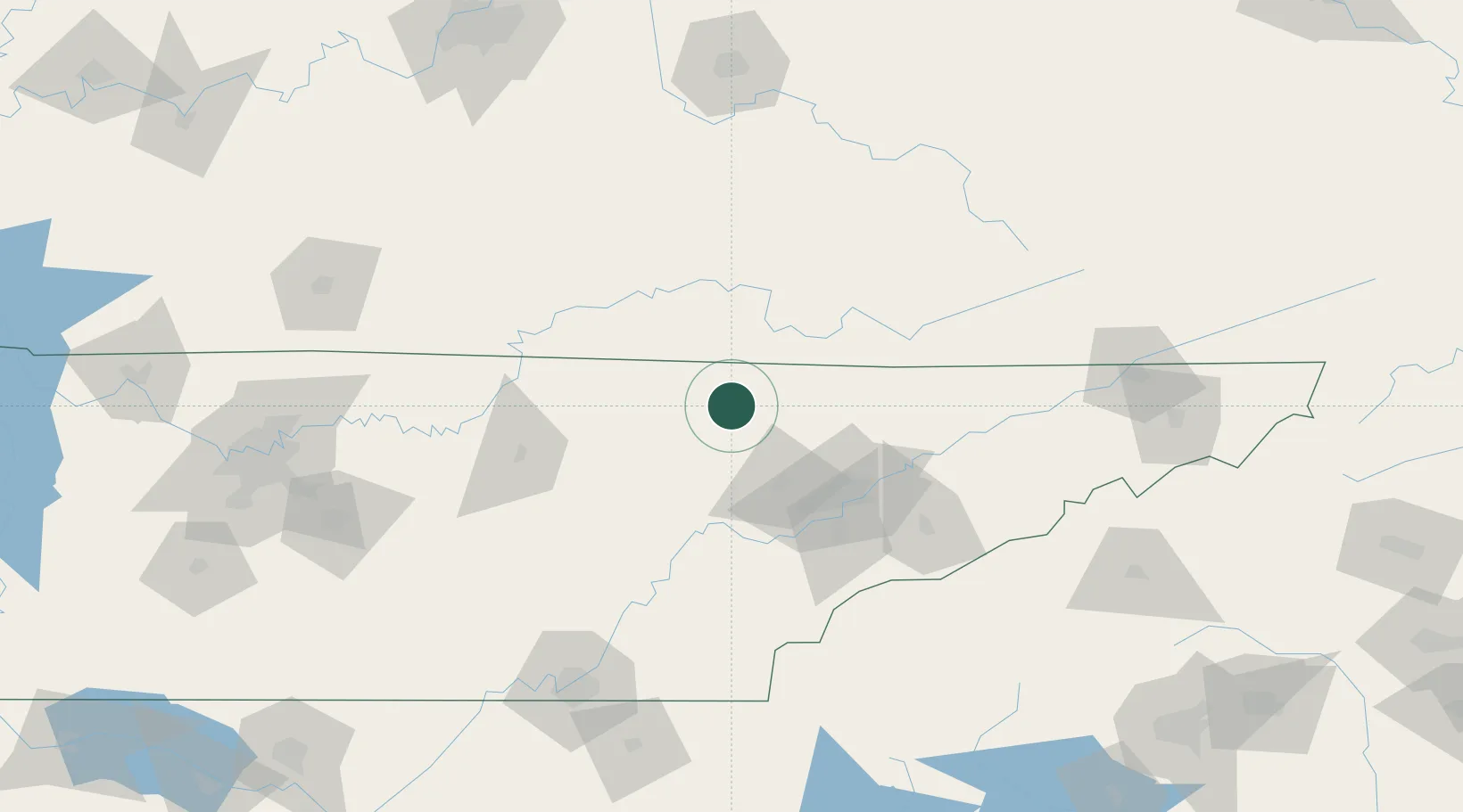
Huntsville
36.4000°, -84.5000°
1,233
Population
2
Transport functions
Transport Functions
Road
Multimodal
Hub Profile
Place type
Provincial seat
Region
Tennessee
Population
1,233
Time zone
America/New_York
Elevation
402 m
Location
Nearby Logistics Neighbours
Ports
- 1Beaufort564 km
- 2Port Royal569 km
- 3Savannah574 km
- 4Huron581 km
- 5Sandusky582 km
Airports
Trade Zones
- 1FTZ No. 148 Knoxville52 km
- 2FTZ No. 134 Chattanooga165 km
- 3FTZ No. 204 Tri-Cities187 km
- 4FTZ No. 078 Nashville231 km
- 5FTZ No. 029 Louisville237 km
DatabookThe Record of Consolidated Knowledge
United States beyond logistics?