Transport Functions
Port
Road
Multimodal
Hub Profile
Place type
Provincial seat
Region
Tennessee
Population
904
Time zone
America/New_York
Elevation
420 m
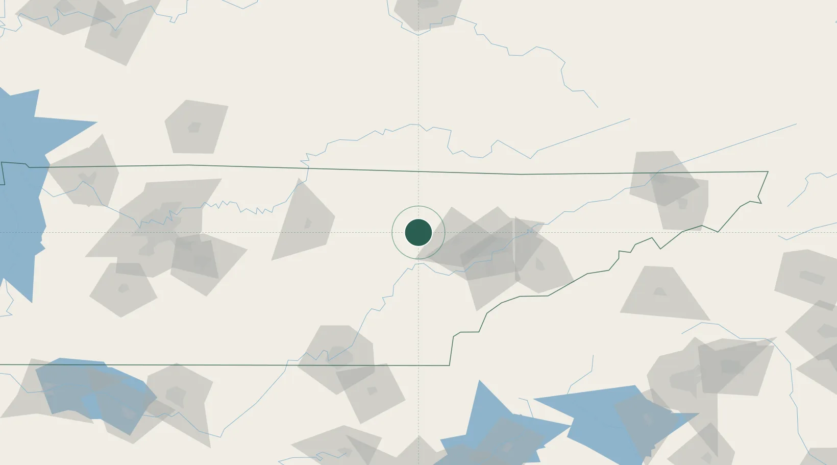
Location
Nearby Logistics Neighbours
Cities
- 1Oakdale, Morgan13 km
- 2Coalfield18 km
- 3Huntsville34 km
- 4Crab Orchard35 km
- 5Helenwood37 km
Ports
- 1Beaufort544 km
- 2Port Royal548 km
- 3Savannah551 km
- 4Huron615 km
- 5Sandusky617 km
Airports
Trade Zones
- 1FTZ No. 148 Knoxville34 km
- 2FTZ No. 134 Chattanooga133 km
- 3FTZ No. 204 Tri-Cities199 km
- 4FTZ No. 078 Nashville223 km
- 5FTZ No. 038 Spartanburg County251 km
DatabookThe Record of Consolidated Knowledge
United States beyond logistics?