Transport Functions
Rail
Road
Multimodal
Hub Profile
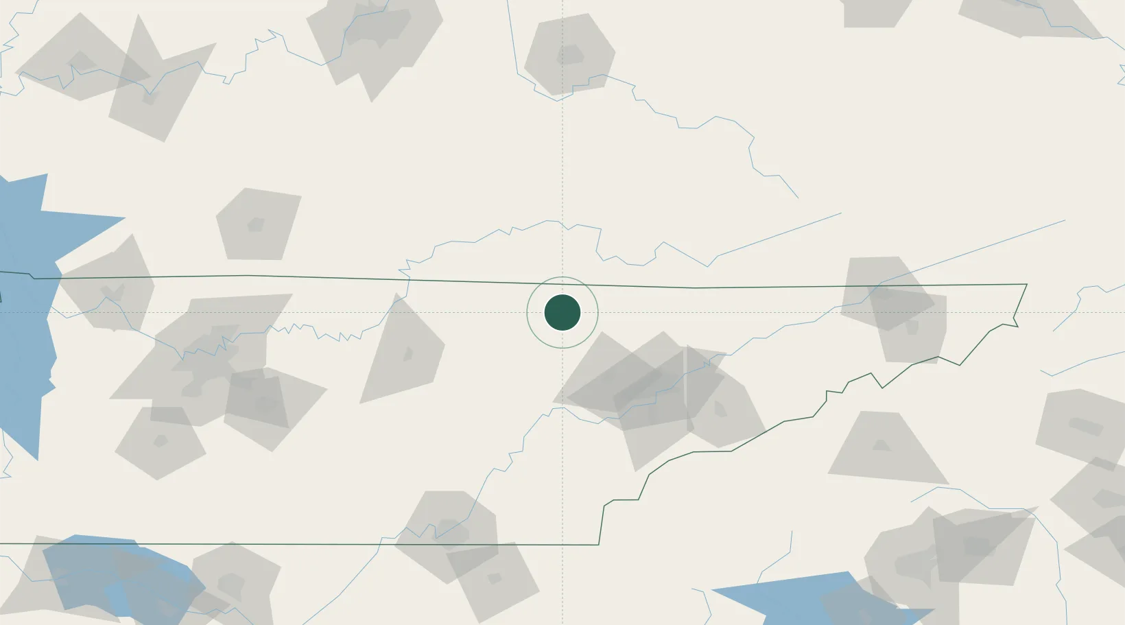
Place type
Populated place
Region
Tennessee
Population
865
Time zone
America/New_York
Elevation
423 m
Location
Nearby Logistics Neighbours
Cities
- 1Huntsville6 km
- 2Jamestown33 km
- 3Jacksboro35 km
- 4Newcomb37 km
- 5Wartburg37 km
Ports
- 1Beaufort570 km
- 2Port Royal575 km
- 3Huron579 km
- 4Savannah579 km
- 5Sandusky580 km
Airports
Trade Zones
- 1FTZ No. 148 Knoxville57 km
- 2FTZ No. 134 Chattanooga166 km
- 3FTZ No. 204 Tri-Cities192 km
- 4FTZ No. 078 Nashville227 km
- 5FTZ No. 029 Louisville232 km
DatabookThe Record of Consolidated Knowledge
United States beyond logistics?