Transport Functions
Multimodal
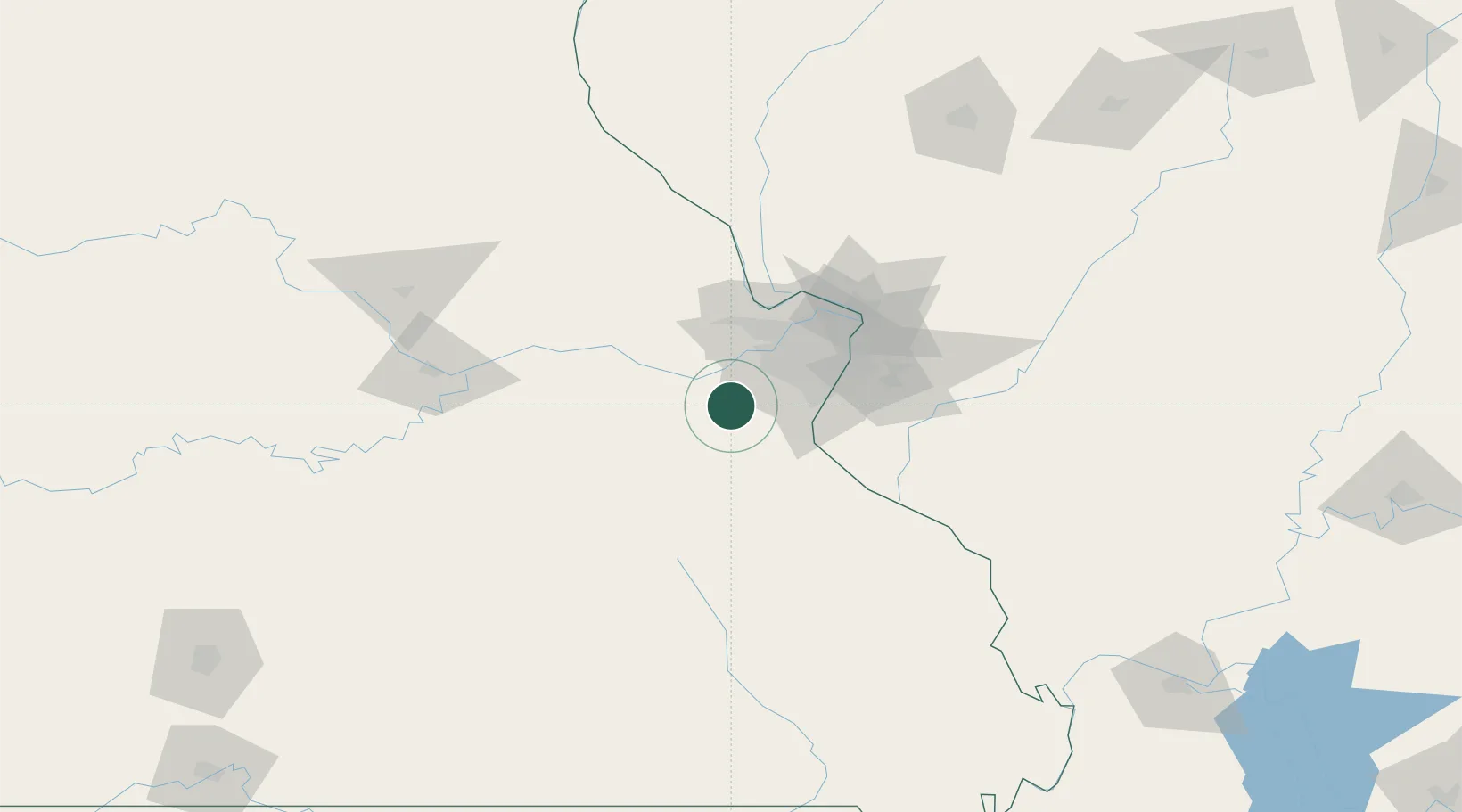
Hub Profile
Place type
Populated place
Region
Missouri
Time zone
America/Chicago
Elevation
163 m
Location
Nearby Logistics Neighbours
Cities
- 1Pacific8 km
- 2Labadie13 km
- 3Saint Albans17 km
- 4House Springs18 km
- 5Augusta19 km
Ports
- 1Port Of Memphis376 km
- 2Indiana Harbor459 km
- 3Gary461 km
- 4Calumet Harbor461 km
- 5Chicago470 km
Airports
Trade Zones
- 1FTZ No. 102 St. Louis County26 km
- 2FTZ No. 031 Granite City61 km
- 3FTZ No. 245 Decatur218 km
- 4FTZ No. 294 Western Kentucky244 km
- 5FTZ No. 225 Springfield250 km
DatabookThe Record of Consolidated Knowledge
United States beyond logistics?