Transport Functions
Road
Multimodal
Hub Profile
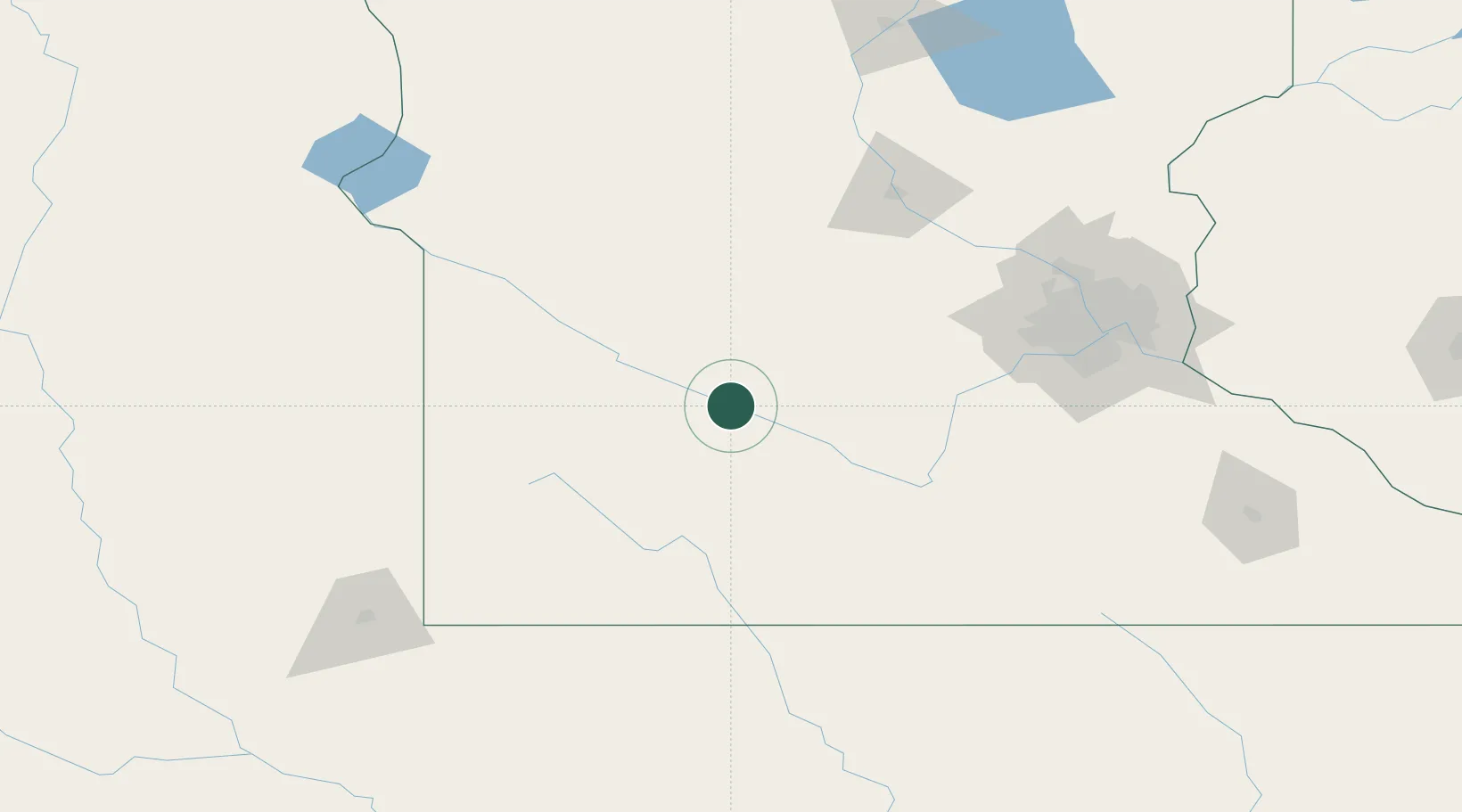
Place type
Populated place
Region
Minnesota
Population
382
Time zone
America/Chicago
Elevation
263 m
Location
Nearby Logistics Neighbours
Cities
- 1Fairfax21 km
- 2Renville31 km
- 3Sleepy Eye34 km
- 4Springfield35 km
- 5Prinsburg46 km
Ports
- 1Superior332 km
- 2Duluth333 km
- 3Two Harbors377 km
- 4Ashland393 km
- 5Washburn396 km
Airports
Trade Zones
- 1FTZ No. 119 Minneapolis-St. Paul146 km
- 2FTZ No. 288 Northwest Iowa177 km
- 3FTZ No. 220 Sioux Falls182 km
- 4FTZ No. 267 Fargo299 km
- 5FTZ No. 051 Duluth325 km
DatabookThe Record of Consolidated Knowledge
United States beyond logistics?